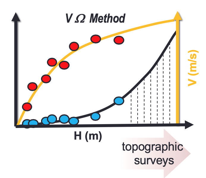
Potential advantages of flow-area rating curves compared to classic stage-discharge-relations
River monitoring is a critical issue for hydrological modelling that strongly relies on the use of Flow Rating Curves (FRCs). In most of the cases, FRCs are approximated by least-squares…