
SMAR: Soil moisture analytical relationship
Code for the application of the SMAR model (Manfreda et al., 2014) and its calibration when root-zone soil moisture data are available for parameter calibration. Available on Zenodo References Manfreda,…
Università degli Studi di Napoli Federico II - DICEA
Code for the application of the SMAR model (Manfreda et al., 2014) and its calibration when root-zone soil moisture data are available for parameter calibration. Available on Zenodo References Manfreda,…

VISION is one of the stabilization algorithms tested in recent manuscript entitled “A comparison of tools and techniques for stabilizing UAS imagery for surface flow observations”. The Matlab code and…
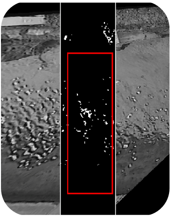
The code for the estimation of the Seeding Distribution Index (#SDI) is now available online on OSF. The SDI can help in the identification of the optimal frame window for…

GFA – tool is an open-source QGIS plug-in to realize a fast and cost-effective delineation of the floodplains in the contexts where the available data is scarce to carry out…
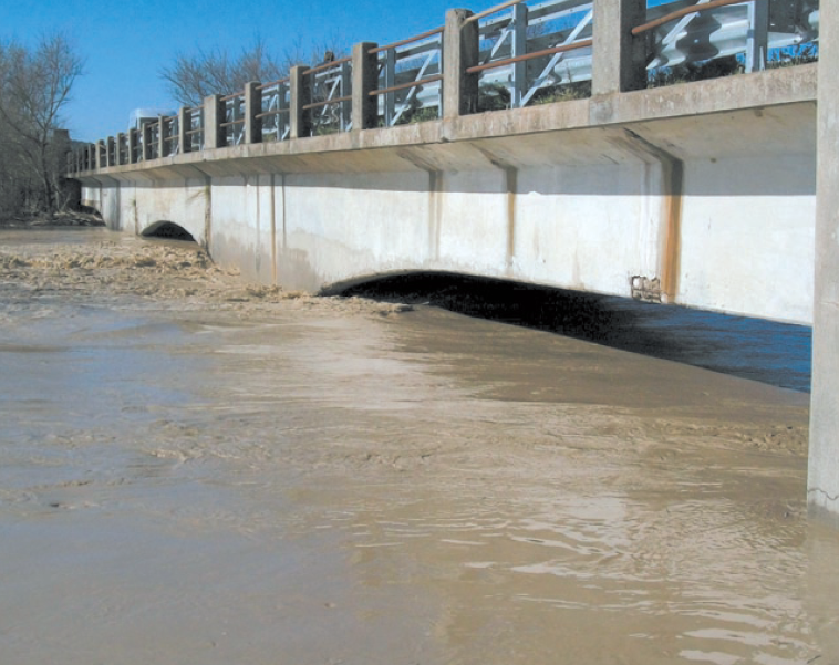
La stima della massima portata al colmo ovvero della massima pioggia corrispondente ad un prefissato tempo di ritorno rappresenta un elemento indispensabile per poter procedere ad un corretto programma di…

Minimalist agro-hYdrological model for Sustainable IRRigation management – soil moisture and crop dynamics – MY SIRR v.3.0 is a software written in python programming language with a simple Graphical User…
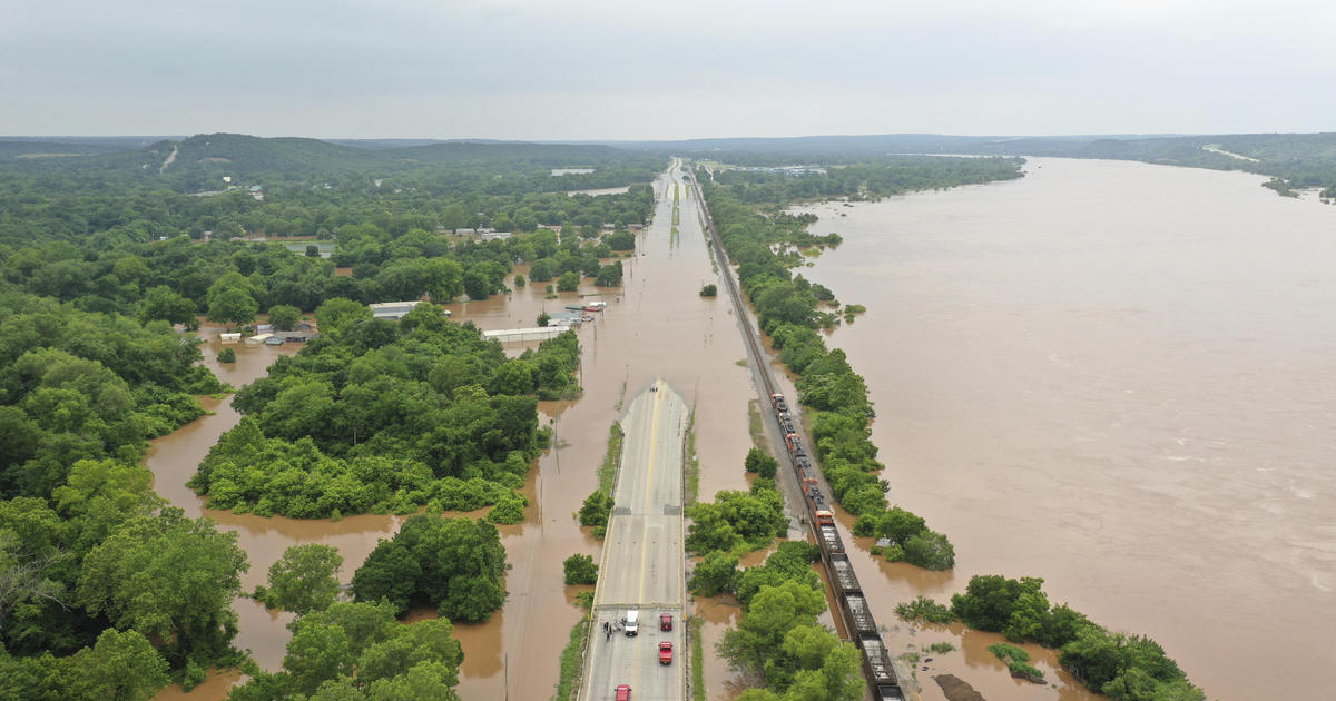
r.hazard.flood is an implementation of a fast procedure to detect flood prone areas. It is based on a simple procedure that exploits the correlation between flood exposure and a Modified…