COST Action CA16219: Harmonization of UAS techniques for agricultural and natural ecosystems monitoring
Scope: Environmental monitoring is a critical issue for comprehending climate impact on natural and agricultural systems, understanding hydrological processes, optimizing water resources, and preventing natural disasters. Nowadays, most of available data is obtained with ground-based measurements or remote sensing that provide limited information in terms of spatial extent or resolution (temporal or spatial). In this context, one of the greatest potential in environmental monitoring is represented by the use of Unmanned Aerial Systems (UASs) whose application and use is rapidly growing in the scientific community. These devices offer an extraordinary opportunity to fill the existing gap between remote sensing and field measurements providing high resolution measurements over wide areas and at high frequency. UASs allow to extend and improve the description of river basin hydrology, agricultural systems and natural ecosystems affording an impressive level of detail. Several new UAS-based approaches have been recently introduced to monitor soil water content, vegetation state, river evolution and stream flow during low-flow and floods. Such measurement practices, algorithms and data assimilation techniques should be harmonized in order to enhance our ability to monitor the environment. The Action will co-ordinate efforts to address these issues, by establishing harmonized monitoring practices, enhancing the use of observations by promoting new monitoring strategies, bringing together different communities, facilitating data transfer, upgrading and enlarging knowledge through networking, exchange and training, and linking them to activities in international agencies and global networks.
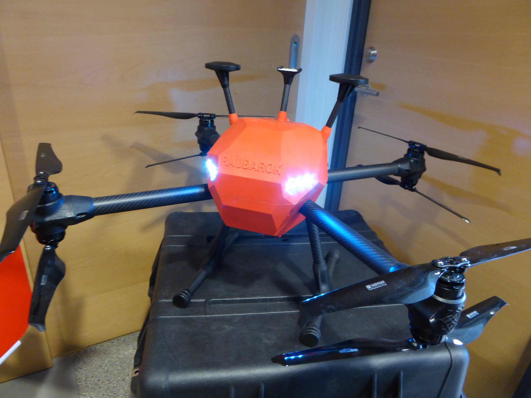
Unmanned Aerial System – UAS 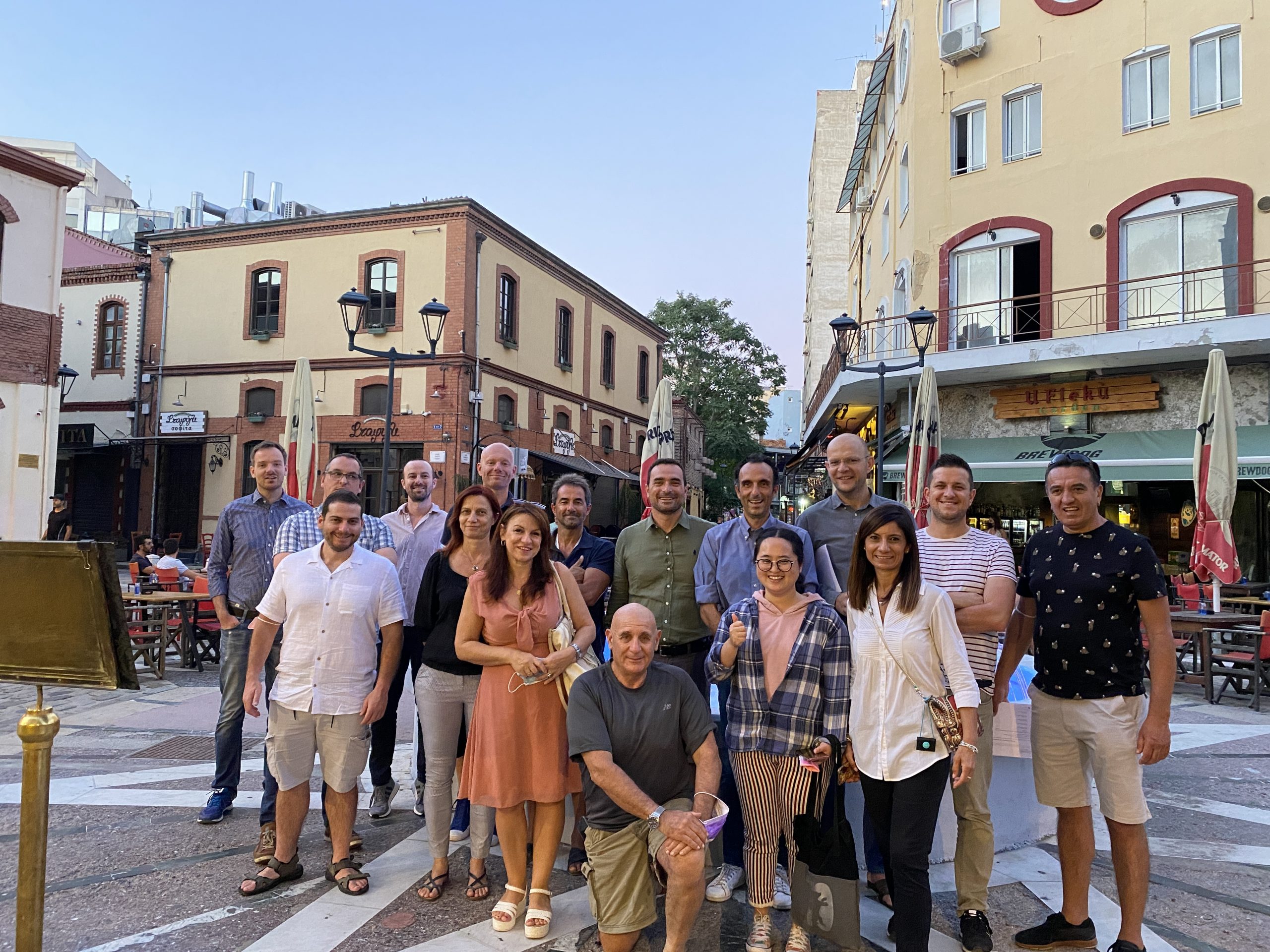
Thessaloniki 2021 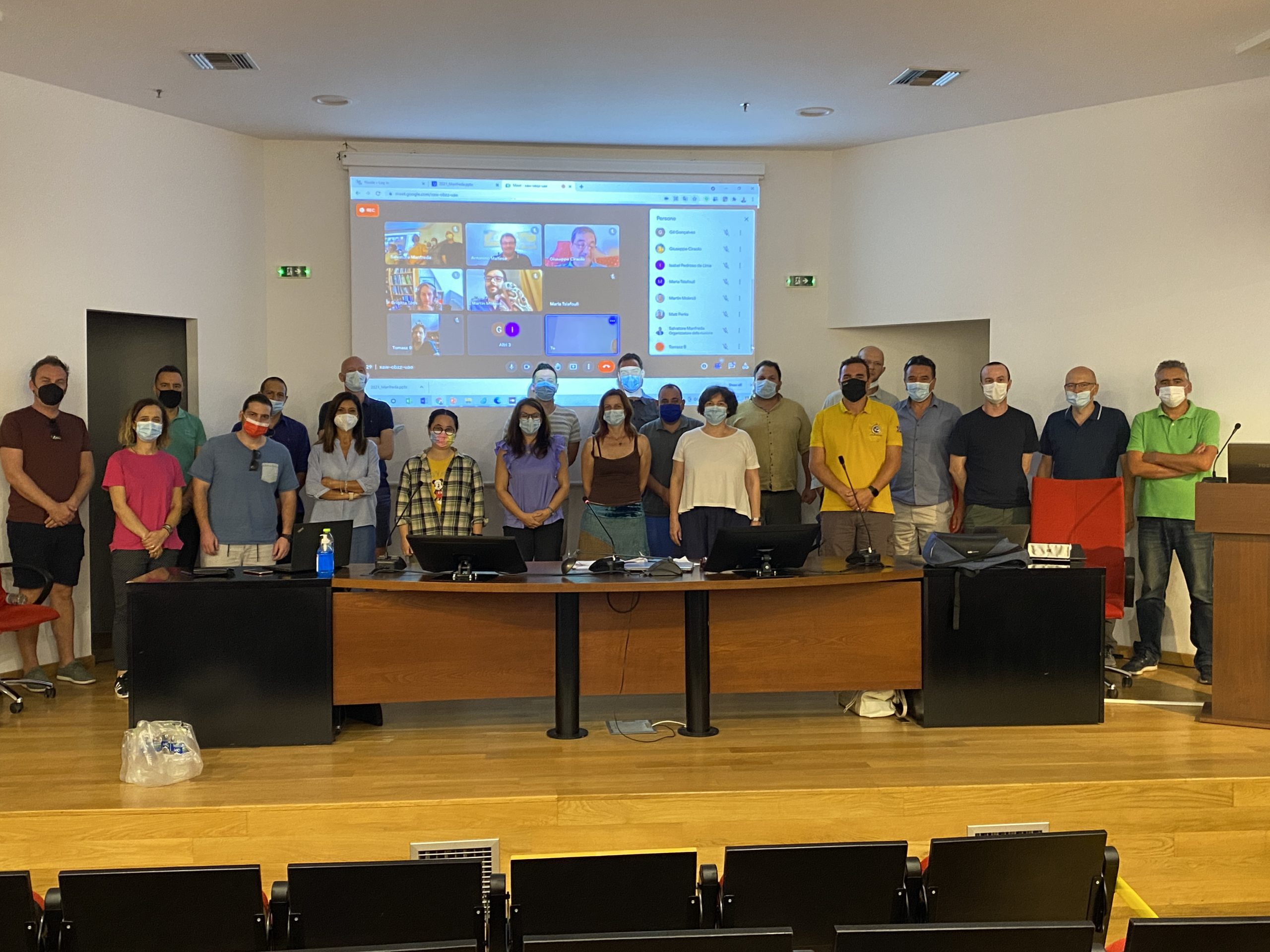
General Assembly in Thessaloniki 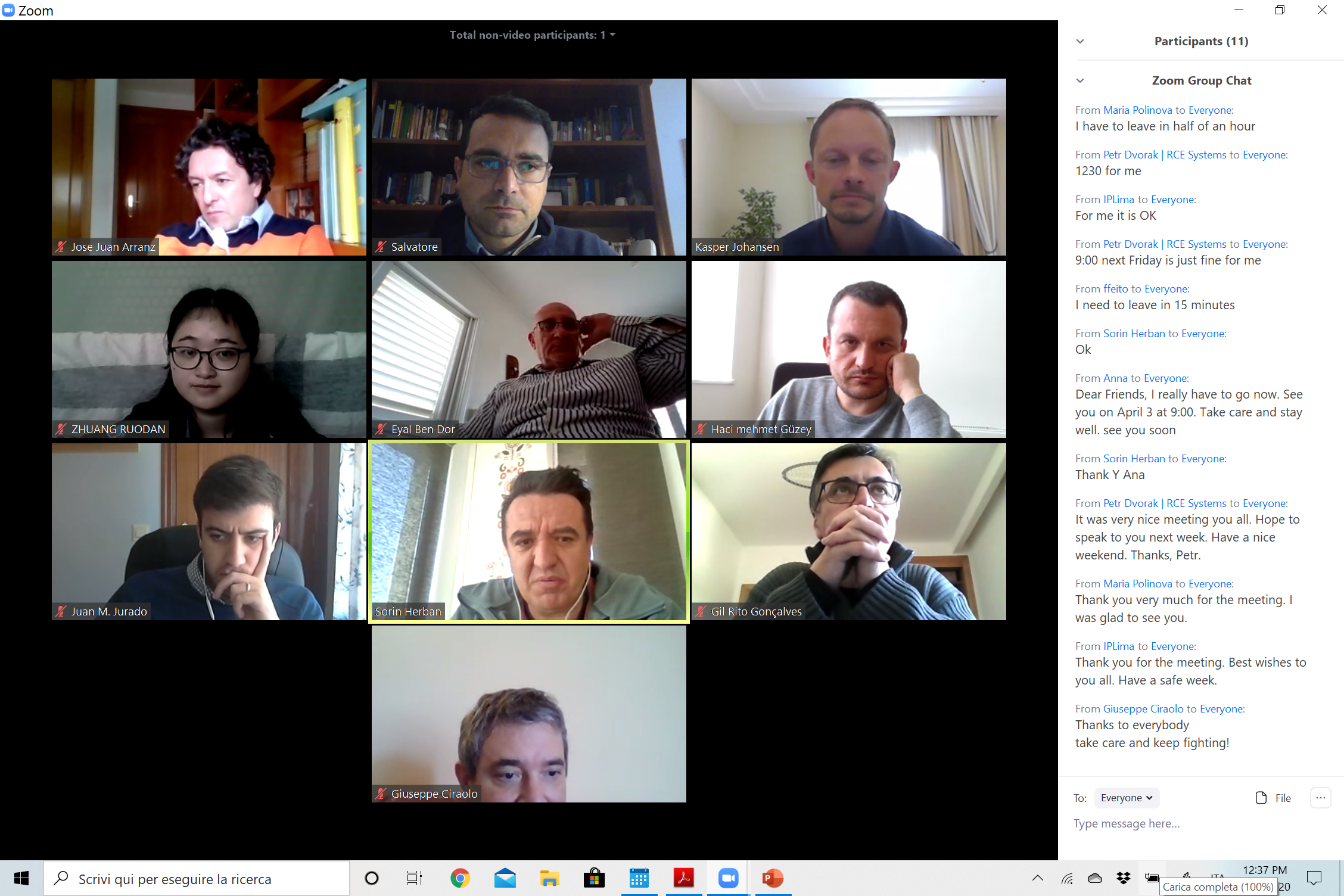
COVID TIME 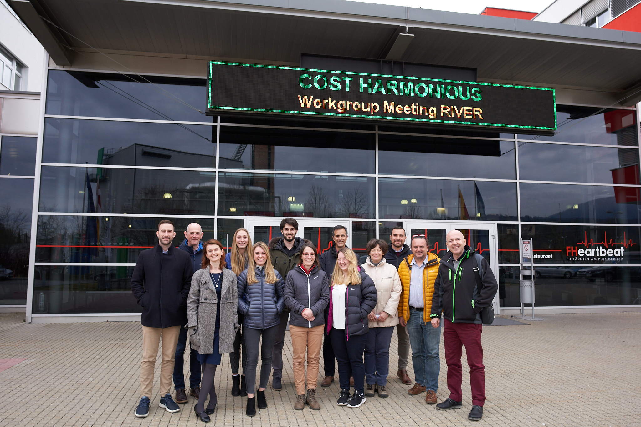
WG4 – Villach 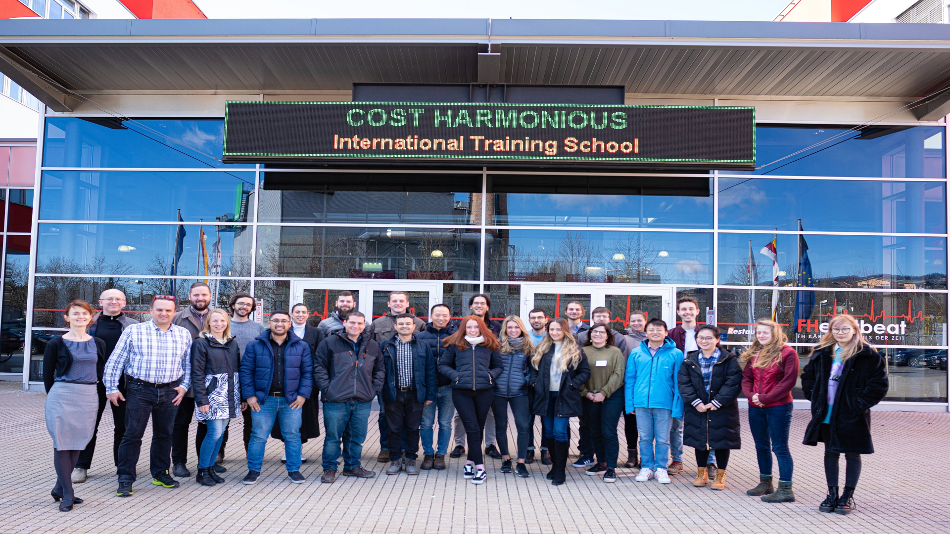
Training Course 2020 – Villach 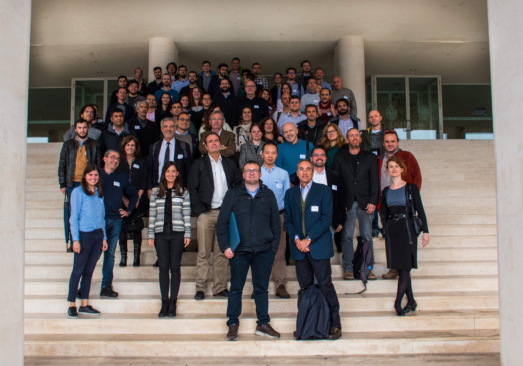
General Assembly of Coimbra 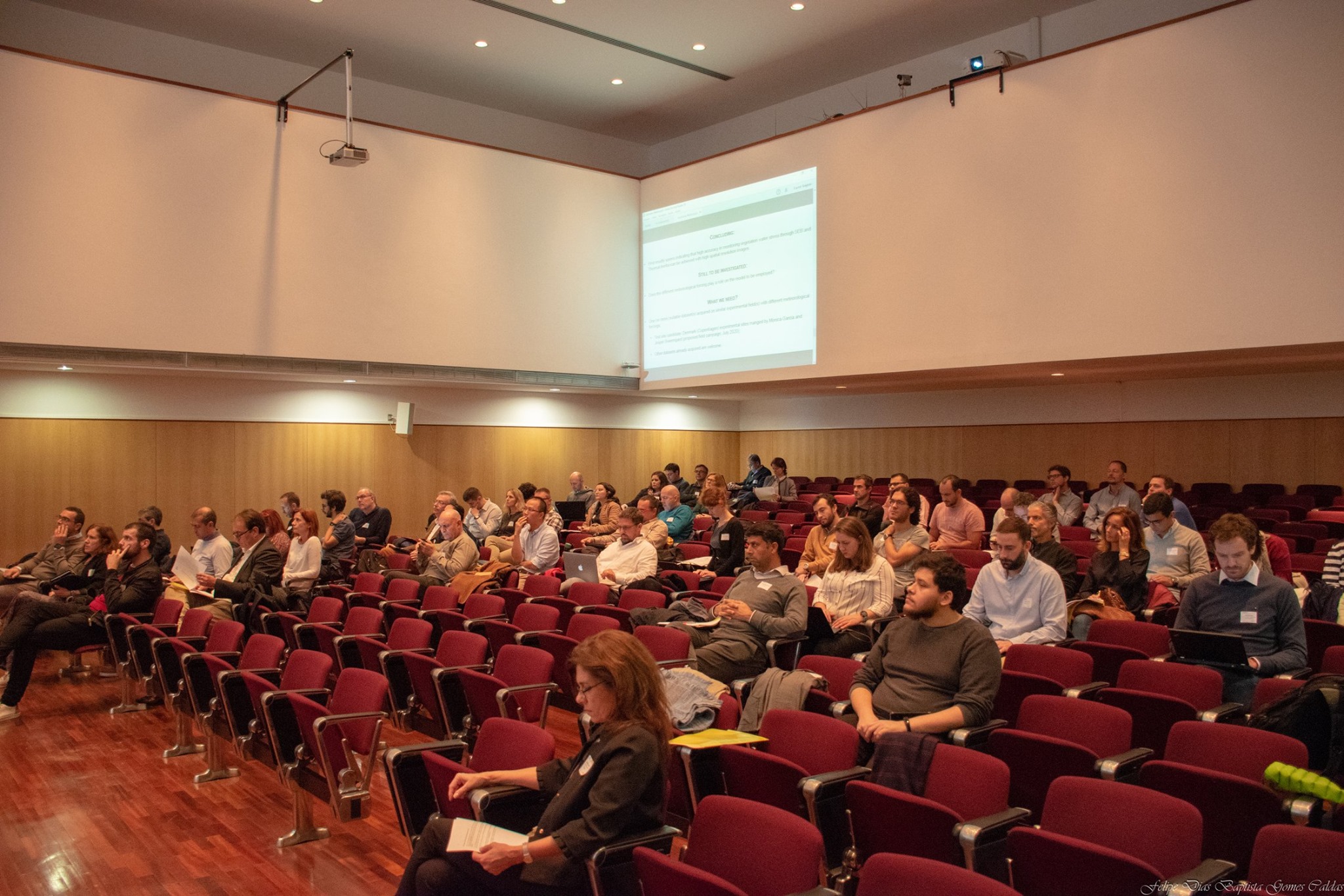
General Assembly of Coimbra 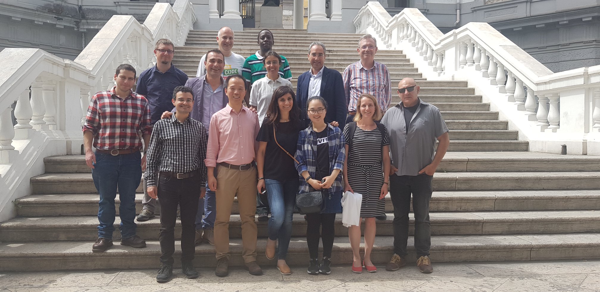
WG3 Naples 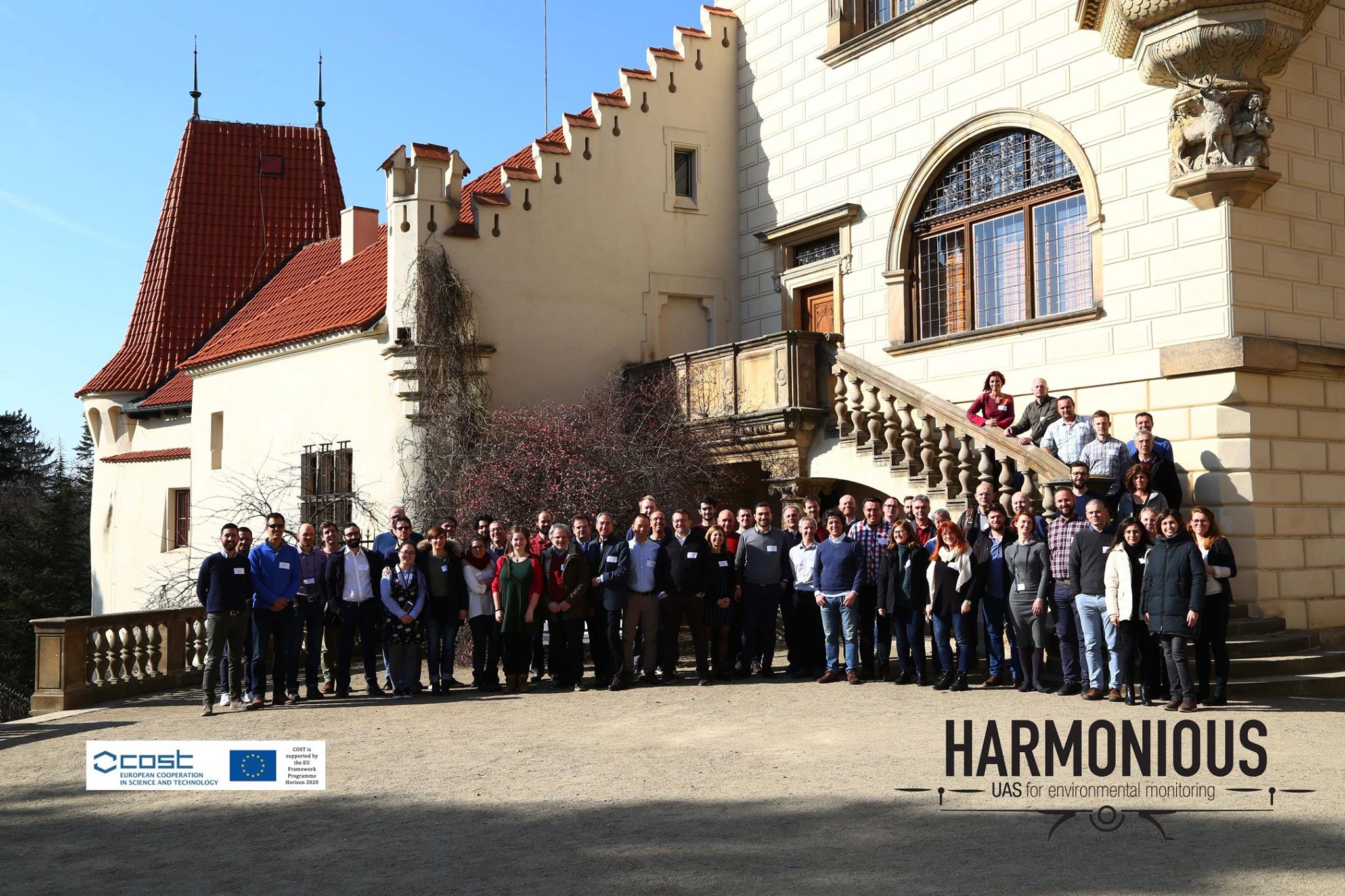
General Assembly of Pruhonice 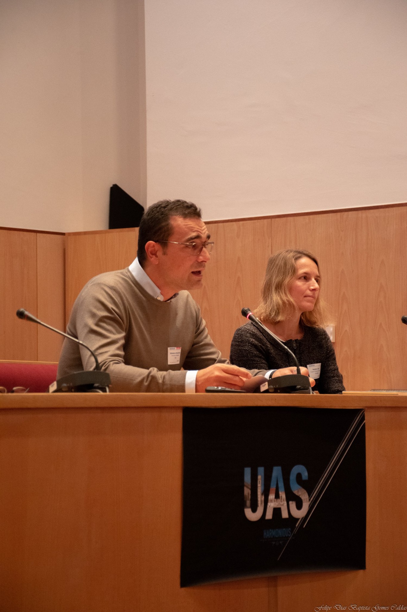
General Assembly of Pruhonice 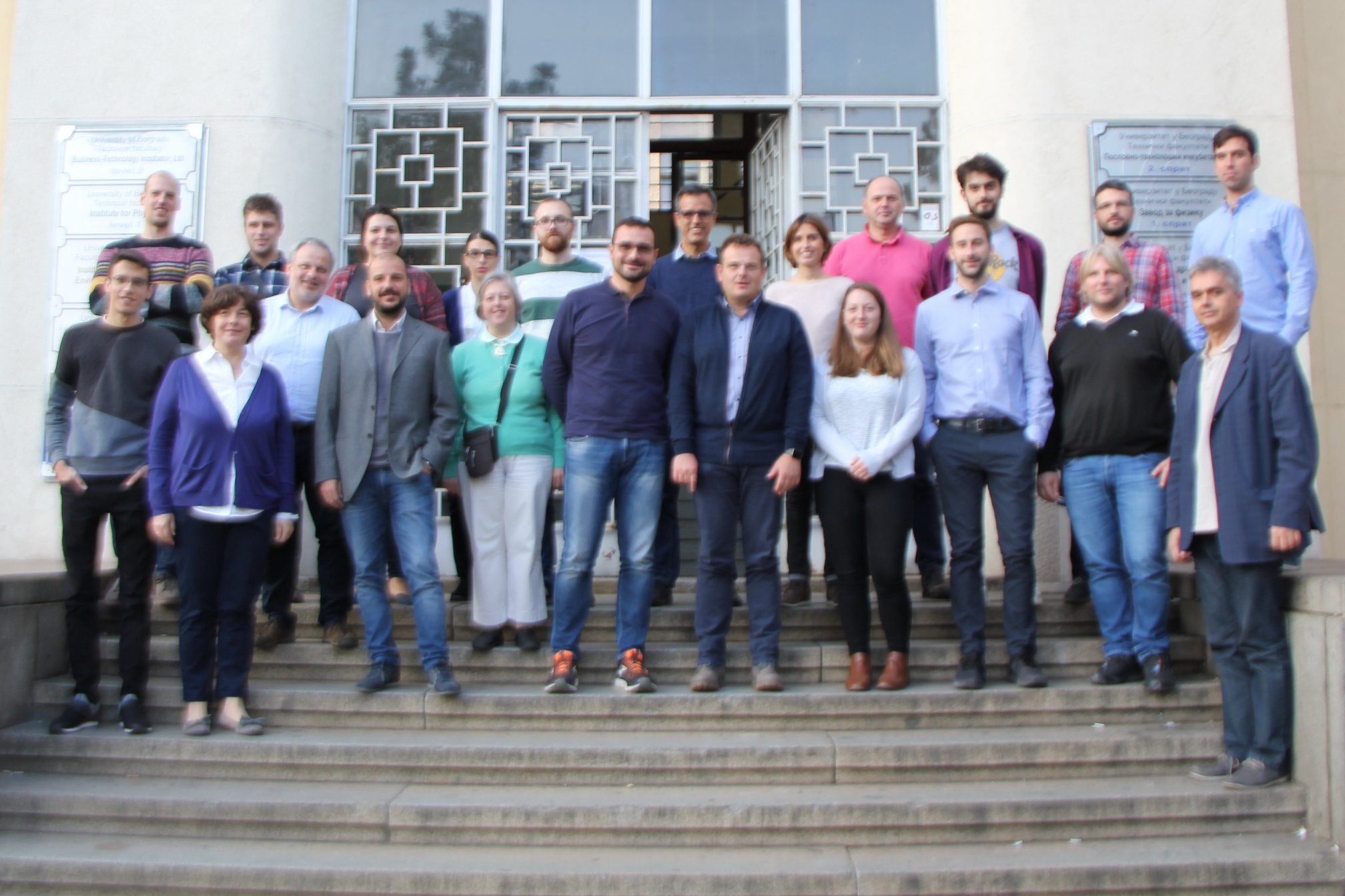
WG4 – Belgrade 
WG4 – Belgrade 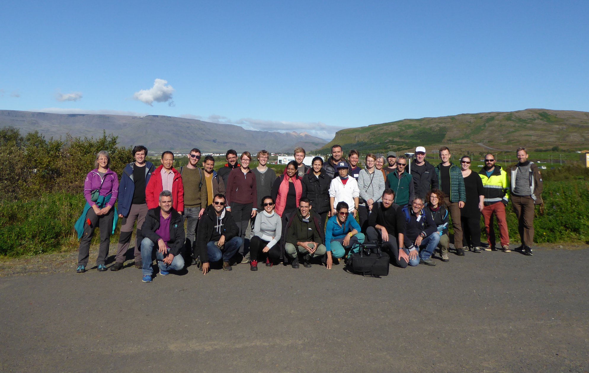
Training Course 2018 – Raykiavik – 
Training Course 2018 – Raykiavik 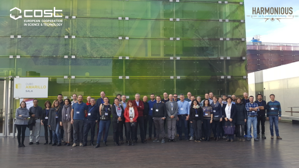
General Assembly 2018 – Valencia
Research Group: Salvatore Manfreda, Brigitta Toth, David Helman, Giorgos Mallinis, Richard Lucas, Pauline Miller, Antonino Maltese, Petr Dvořák, Sander Mücher, Giuseppe Ciraolo, Yijian Zeng, Zhongbo Su, Jana Müllerová, Nunzio Romano, Xurxo Gago, Ruodan Zhuang, Goran Tmusic, Helge Aasen, Mike James, Gil Concalves, Eyal Ben-Dor, Anna Brook, Maria Polinova, Jose Juan Arranz, Janos Meszaros, Ruodan Zhuang, Kasper Johansen, Yoann Malbeteau, Matthew McCabe, Isabel Pedroso de Lima, Corine Davis, Sorin Herban, Sophie Pearce, Robert Ljubicic, Salvador Peña-Haro, Matthew Perks, Flavia Tauro, Alonso Pizarro, Silvano Fortunato Dal Sasso, Dariia Strelnikova, Salvatore Grimaldi, Ian Maddock, Gernot Paulus, Jasna Plavšic, Dušan Prodanovic, Rafi Kent, Josef Brůna, Martynas Bučas, Joan Estrany, Adrien Michez, Martin Mokroš, Maria Tsiafouli, João L. M. P. de Lima, Anette Eltner, László Bertalan
Deliverables:
- Manfreda, S., E. Ben Dor, Unmanned Aerial Systems for Monitoring Soil, Vegetation, and Riverine Environments, Earth Observation Series, Elsevier, (ISBN: 9780323852838) 1st Edition – January 20, 2023. [Link]
- Goncalves, G., J. J. Arranz, S. Herban, P. Dvorak, S. Manfreda, Assessing the accuracy of geospatial products derived from SfM-MVS techniques, Fundamentals of Capturing and Processing Drone Imagery and Data, Taylor and Francis, 2021.
- Ljubičić R.D., D. Strelnikova, M. T. Perks, S. F. Dal Sasso, A. Eltner, S. Peña-Haro, A. Pizarro, P. Vuono, U. Scherling, S. Manfreda, A comparison of tools and techniques for stabilising unmanned aerial system (UAS) imagery for surface flow observations, Hydrology and Earth System Sciences, 25, 5105–5132, (doi: 10.5194/hess-25-5105-2021), 2021. [pdf]
- Eltner, A., Manfreda, S., Hortobagyi, B., Analysis of Imagery – Processing Image Sequences, Unmanned Aerial Vehicles In Environmental Sciences, 2021.
- Müllerová J. , X. Gago, M. Bučas,J. Company, J. Estrany, J. Fortesa, S. Manfreda, A. Michez, M. Mokroš, G. Paulus, E. Tiškus, M. A. Tsiafouli, R. Kent, Characterizing vegetation complexity with unmanned aerial systems (UAS) – A framework and synthesis, Ecological Indicators, Volume 131, November 2021, 108156. [pdf]
- Dal Sasso, S.F.; Pizarro, A.; Manfreda, S., Recent Advancements and Perspectives in UAS-Based Image Velocimetry. Drones, 5, 81, 2021. [pdf]
- Francos, N.; Romano, N.; Nasta, P.; Zeng, Y.; Szabó, B.; Manfreda, S.; Ciraolo, G.; Mészáros, J.; Zhuang, R.; Su, B.; et al. Mapping Water Infiltration Rate Using Ground and UAV Hyperspectral Data: a Case Study of Alento, Italy. Remote Sensing, 13, 2606, (doi: 10.3390/rs13132606) 2021. [pdf]
- Petropoulos, G.P., A. Maltese, T. N. Carlson, G. Provenzano, A. Pavlides, G. Ciraolo, D. Hristopulos, F. Capodici, C. Chalkias, G. Dardanelli, S. Manfreda, Exploring the use of UAVs with the simplified “triangle” technique for Soil Water Content and Evaporative Fraction retrievals in a Mediterranean setting, International Journal of Remote Sensing, VOL. 42, NO. 5, 1623–1642, (doi: 10.1080/01431161.2020.1841319) 2021. [pdf]
- Pizarro, A., S.F. Dal Sasso, M. Perks and S. Manfreda, Identifying the optimal spatial distribution of tracers for optical sensing of stream surface flow, Hydrology and Earth System Sciences, 24, 5173–5185, (10.5194/hess-24-5173-2020) 2020. [pdf]
- Pizarro, A., S. F. Dal Sasso, S. Manfreda, Refining image‐velocimetry performances for streamflow monitoring: Seeding metrics to errors minimisation, Hydrological Processes, (doi: 10.1002/hyp.13919 ), 2020. [pdf]
- Paruta, A., P. Nasta, G. Ciraolo, F. Capodici, S. Manfreda, N. Romano, E. Bendor, Y. Zeng, A. Maltese, S. F. Dal Sasso and R. Zhuang, A geostatistical approach to map near-surface soil moisture through hyper-spatial resolution thermal inertia, IEEE Transactions on Geoscience and Remote Sensing, (doi: 10.1109/TGRS.2020.3019200) 2020. [pdf]
- Perks, M. T., S. Fortunato Dal Sasso, A. Hauet, S. Pearce, S. Peña-Haro, F. Tauro, S. Grimaldi, B. Hortobágyi, M. Jodeau, J. Le Coz, I. Maddock, L. Pénard, and S. Manfreda, Towards harmonization of image velocimetry techniques for river surface velocity observations, Earth System Science Data, 12, 1545–1559, (doi: 10.5194/essd-12-1545-2020) 2020. [pdf]
- Tmušić, G.; Manfreda, S.; Aasen, H.; James, M.R.; Gonçalves, G.; Ben-Dor, E.; Brook, A.; Polinova, M.; Arranz, J.J.; Mészáros, J.; Zhuang, R.; Johansen, K.; Malbeteau, Y.; de Lima, I.P.; Davids, C.; Herban, S.; McCabe, M.F. Current Practices in UAS-based Environmental Monitoring, Remote Sensing, 12, 1001, 2020. [pdf]
- Pearce, S.;R.; R. Ljubičić; S. Peña-Haro; M. Perks; F. Tauro; A. Pizarro; S.F. Dal Sasso; D. Strelnikova; S. Grimaldi; I. Maddock; G. Paulus; J. Plavšić; D. Prodanović; S. Manfreda, An Evaluation of Image Velocimetry Techniques under Low Flow Conditions and High Seeding Densities Using Unmanned Aerial Systems, Remote Sensing, 12, 232, 2020. [pdf]
- Manfreda, S., S. F. Dal Sasso, A. Pizarro, F. Tauro, Chapter 10: New Insights Offered by UAS for River Monitoring, Applications of Small Unmanned Aircraft Systems: Best Practices and Case Studies, CRC Press, Taylor & Francis Groups, 211, 2019.
- Manfreda, S., M.F. McCabe, Emerging earth observing platforms offer new insights into hydrological processes, Hydrolink, 1, 8-9, 2019. [pdf]
- Manfreda, S., P. Dvorak, J. Mullerova, S. Herban, P. Vuono, J.J. Arranz Justel, M. Perks, Assessing the Accuracy of Digital Surface Models Derived from Optical Imagery Acquired with Unmanned Aerial Systems, Drones, 3(1), 15, 2019. [pdf]
- Manfreda, S., M. F. McCabe, P. E. Miller, R. Lucas, V. Pajuelo Madrigal, G. Mallinis, E. Ben-Dor, D. Helman, L. Estes, G. Ciraolo, J. Müllerová, F. Tauro, M. I. de Lima, J. L. M. P. de Lima, A. Maltese, F. Frances, K. Caylor, M. Kohv, M. Perks, G. Ruiz-Pérez, Z. Su, G. Vico, and B. Toth, On the Use of Unmanned Aerial Systems for Environmental Monitoring, Remote Sensing, 10(4), 641; 2018. [pdf]