Use of Drones for Environmental Monitoring
The book “Unmanned Aerial Systems for Monitoring Soil, Vegetation, and Riverine Environments” is the result of five years of intense activities carried out within the context of the COST Action…
Università degli Studi di Napoli Federico II - DICEA
The book “Unmanned Aerial Systems for Monitoring Soil, Vegetation, and Riverine Environments” is the result of five years of intense activities carried out within the context of the COST Action…
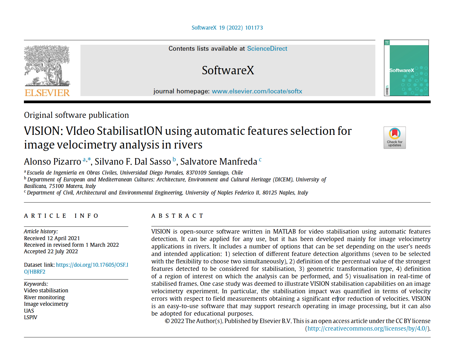
VISION is open-source software written in MATLAB for video stabilisation using automatic features detection. It can be applied for any use, but it has been developed mainly for image velocimetry…
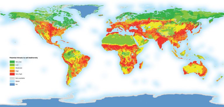
Dear Colleagues, Recent technological advances in both remote sensing and soil mapping approaches and progress in establishing harmonized soil profile datasets have opened up the potential to derive global gridded…