Webinar – Drones in Geographical Applications
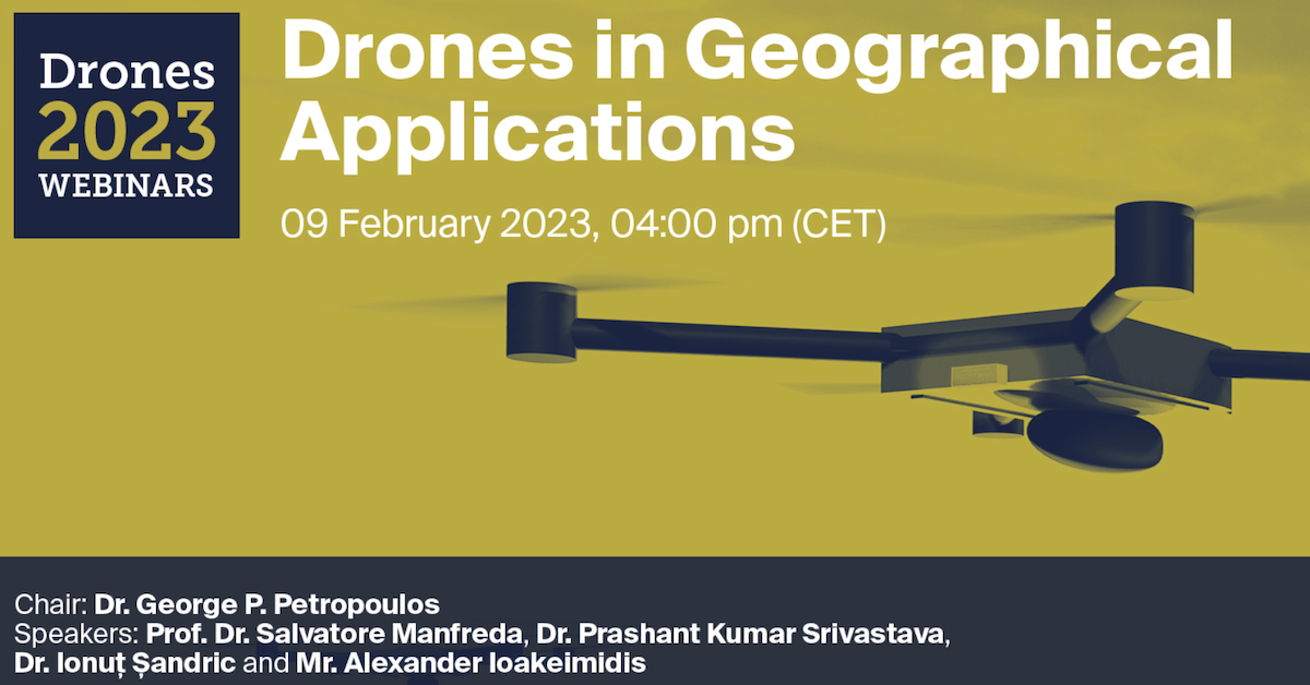
Do not miss the Webinar organised by Drones MDPI on Drones in Geographical Applications!!! Webinar will be coordinated by George P. Petropoulos and it will include the following talks: Unmanned…
Università degli Studi di Napoli Federico II - DICEA
Do not miss the Webinar organised by Drones MDPI on Drones in Geographical Applications!!! Webinar will be coordinated by George P. Petropoulos and it will include the following talks: Unmanned…
Dear Friend and Colleagues, Recent years have been filled with numerous and intense collaborations and relevant achievements. As we come to the end of the year, we wanted to take…

Dear Colleagues, Soil Moisture (SM) is a vital element in the hydrological cycle and land–atmosphere interactions. Quantification of SM and its spatiotemporal variability is valuable for understanding water availability in…
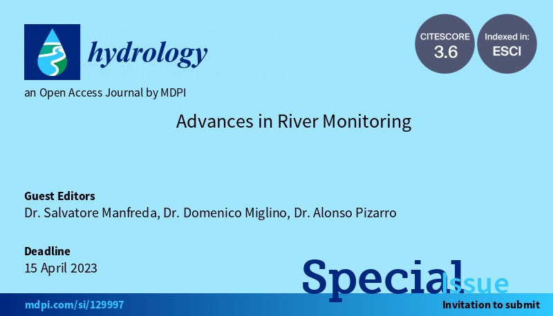
We are promoting a Special Issue on River Monitoring with the aim to provide an overview of the most advanced research activities in this field. The aim of the present…
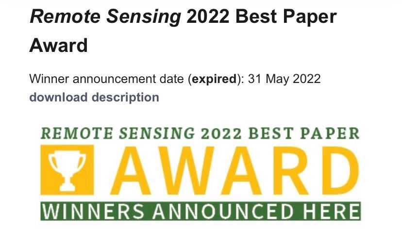
I’m proud to announce that our recent paper “Current Practices in UAS-based Environmental Monitoring” has been awarded with the Best Paper Award 2022 by Remote Sensing MDPI. This paper has…
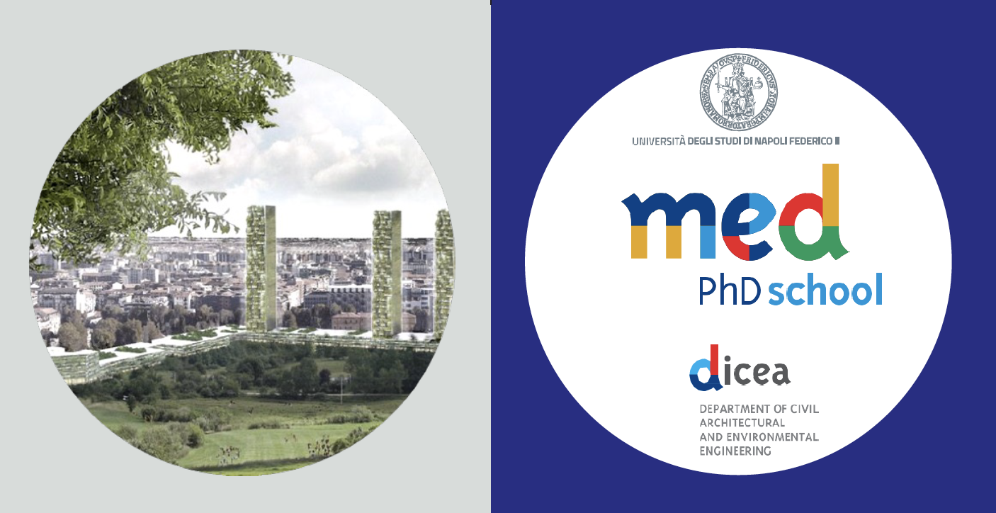
DICEA of University Federico II is promoting the 3rd edition of the Mediterranean PhD Short School on “From sustainable to regenerative and resilient design”, which is scheduled from 10th to…
We are looking for very motivated and talented candidates for a Ph.D. scholarship on “Monitoring of water quality of natural rivers exploiting image processing techniques” (CU1.14) at Università degli Studi…
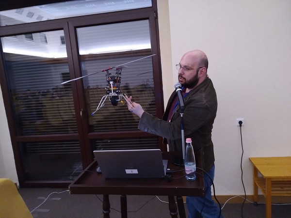
We had the great pleasure to meet, during our COST Action – HARMONIOUS General Assembly in Debrecen, the StoolTechnologies that has developed a new UAS with a payload of about…
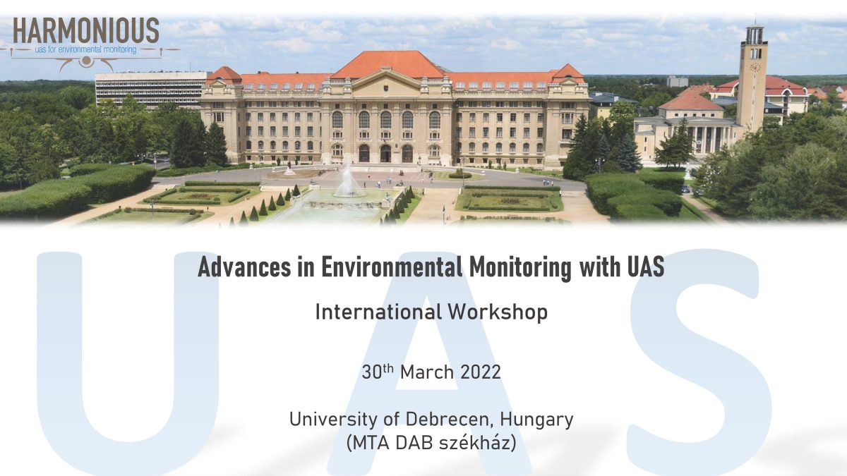
University of Debrecen, Hungary Detailed program of the Workshop 08:30 – 09:30 Registration 09:30-09:50: László Bertalan, Brigitta Tóth: Welcome from local organizers09:50-10:05: Salvatore Manfreda – The achievements HARMONIOUS COST Action10:05-10:25:…

Considering this year’s meeting situation, the organizing team has decided it is necessary to post-pone the event by one year to ensure for all participants a successful, safe on-site meeting…
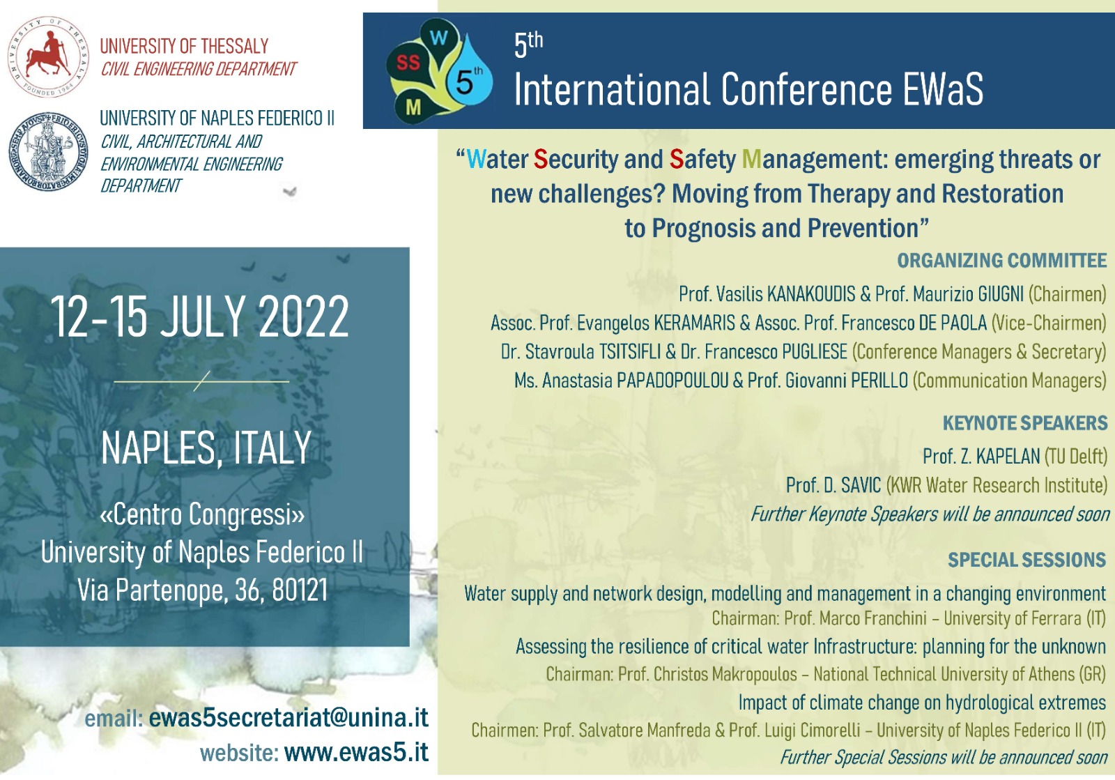
University of Naples Federico II and University of Thessaly are organizing the 5th EWaS (Efficient Water Systems) International Conference on “Water Security and Safety Management: emerging threats or new challenges?…
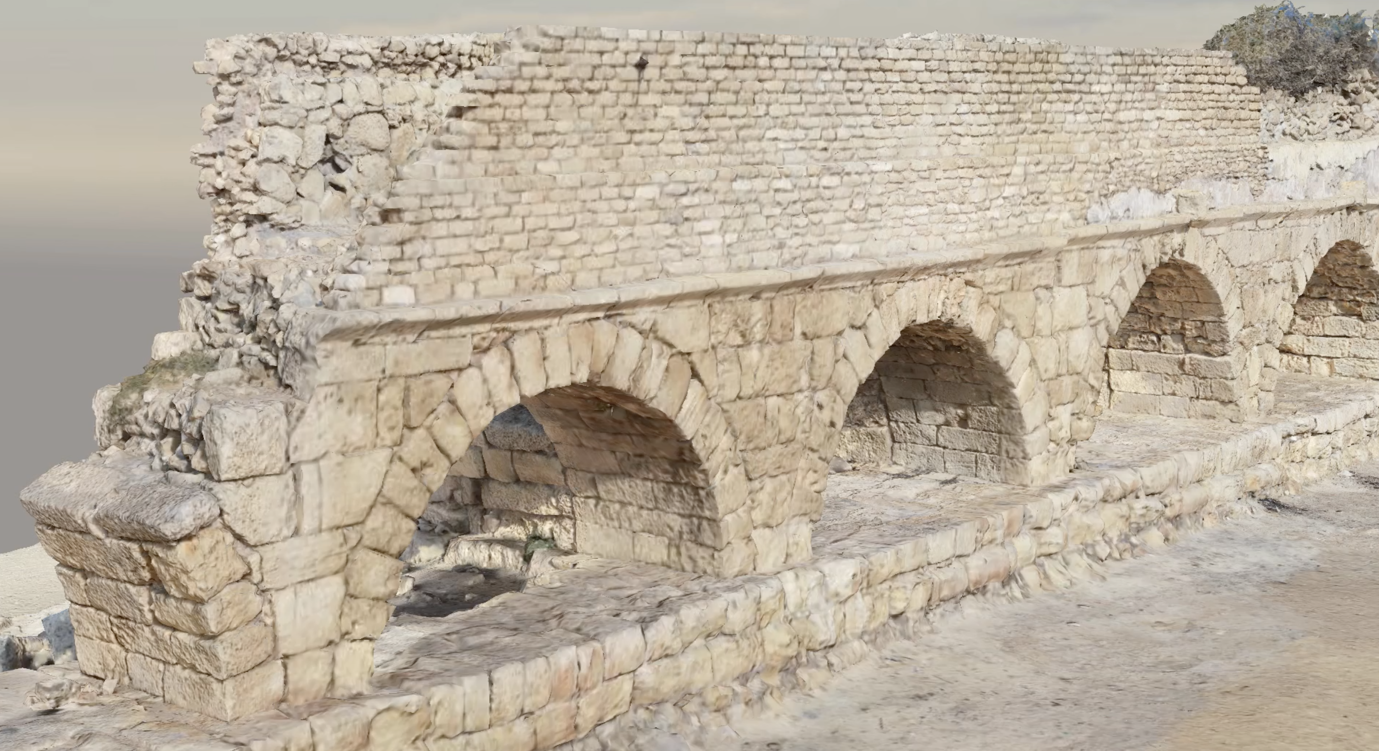
UAS-based surveys and structure from motion (SfM) can lead to extraordinary and realistic 3D models to preserve our cultural heritage. In our recent applications, our members are developing new strategies…
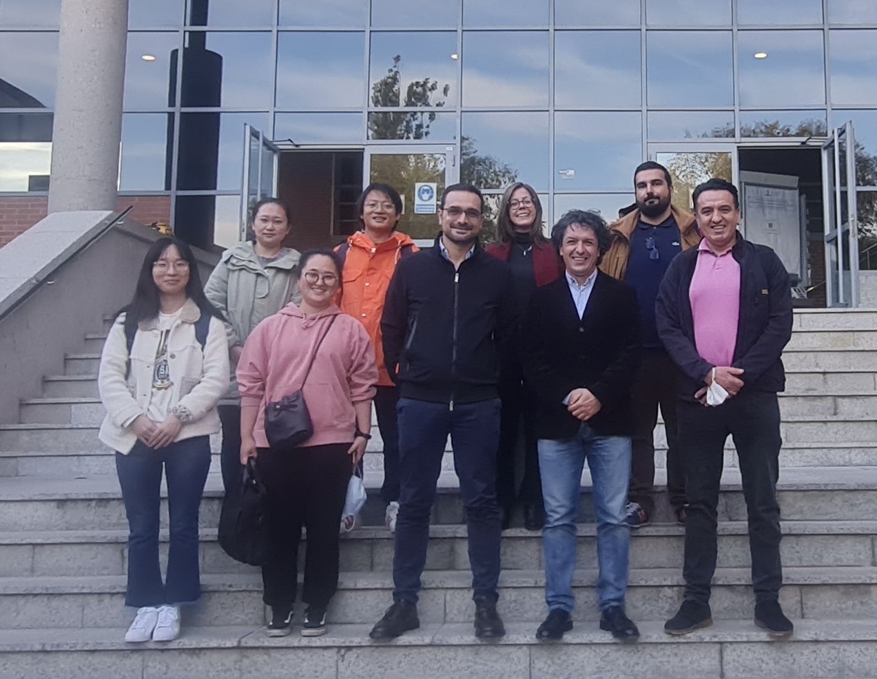
The Department of Topography and Cartography of the Technical University of Madrid hosted our work group meeting of COST Action – HARMONIOUS from 27 up to the 30 of October.…
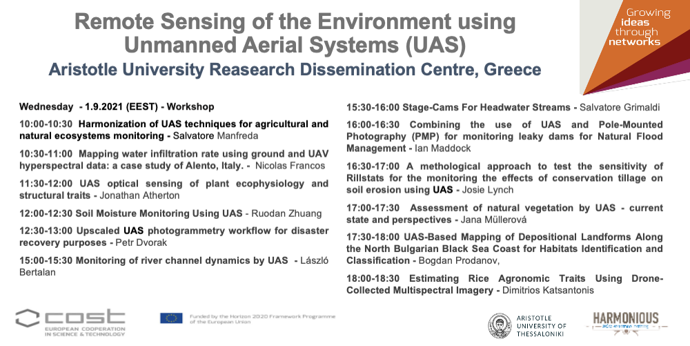
The next Generally Assembly entitled Remote Sensing of the Environment using Unmanned Aerial Systems (UAS) of the Harmonious Cost Action will be on live streaming https://auth.gr/video/29478 Program 9:00-9:30 Registration and…
Research and innovation driving transformative change. Becoming the world’s first climate-neutral continent by 2050, Europe needs to modernize the approach to engineering design, to ensure an inclusive ecological transition. Research…