
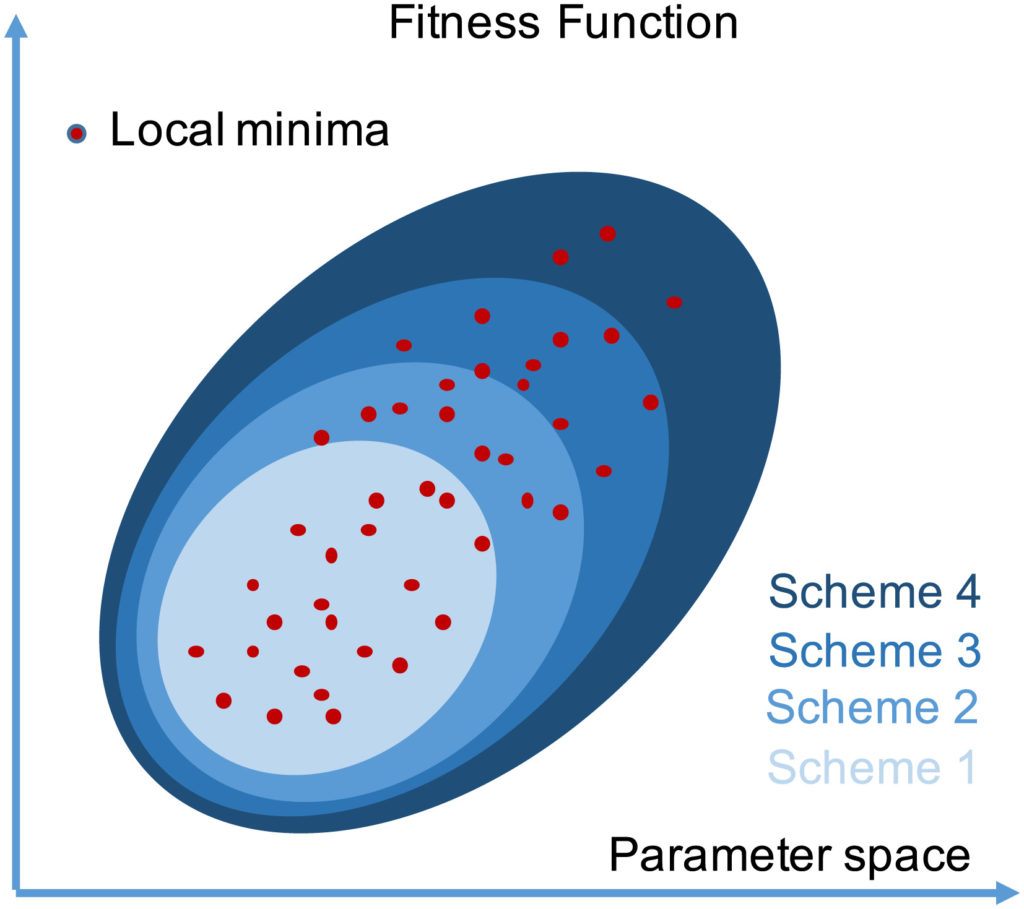
In hydrological modelling, the challenge is to identify an optimal strategy to exploit tools and available observations in order to enhance model reliability. The increasing availability of data promotes the use of new calibration techniques able to make use of additional information on river basins. In the present study, a lumped hydrological model—designed with the aim of utilizing remotely sensed data—is introduced and calibrated, adopting four different schemes that adopt, to varying extents, available physical information. The physically consistent conceptualization of the hydrological model used allowed development of a step by step calibration based on a combination of information, such as remotely sensed data describing snow cover, recession curves obtained from streamflow measurements, and time series of surface run‐off obtained with a baseflow mathematical filter applied to the streamflow time‐series. Results suggest that the use of physical information in the calibration procedure tends to increase model reliability with respect to approaches where the parameters are calibrated using an overall statistic based, considerably or exclusively, on streamflow data.
How to cite: Manfreda, S., Mita, L., S. F. Dal Sasso, C. Samela, L. Mancusi, Exploiting the Use of Physical Information for the Calibration of a Lumped Hydrological Model, Hydrological Processes, 32(10), 1420-1433, (doi: 10.1002/hyp.11501) 2018. [pdf]