
Author: Salvatore Manfreda

The world is facing a water crisis, with rising demand, diminishing resources, and the impacts of climate change exacerbating the situation. On World Water Day 2023, we are bringing together experts from various fields to discuss…
How can we predict the probability distribution of peak outflows from a detention dam without running thousands of Monte Carlo simulations? This work answers that question with a closed-form, theoretically derived probability distribution (TDD) of…
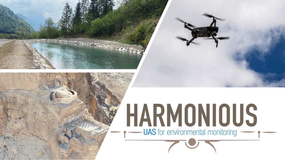
This set of three documents represents a blueprint of an Operations Manual for UAS operations (OM) targeting environmental studies, accompanied by an Emergency Response Plan (ERP) and an example of UAS operation description and risk assessment according to JARUS SORA…
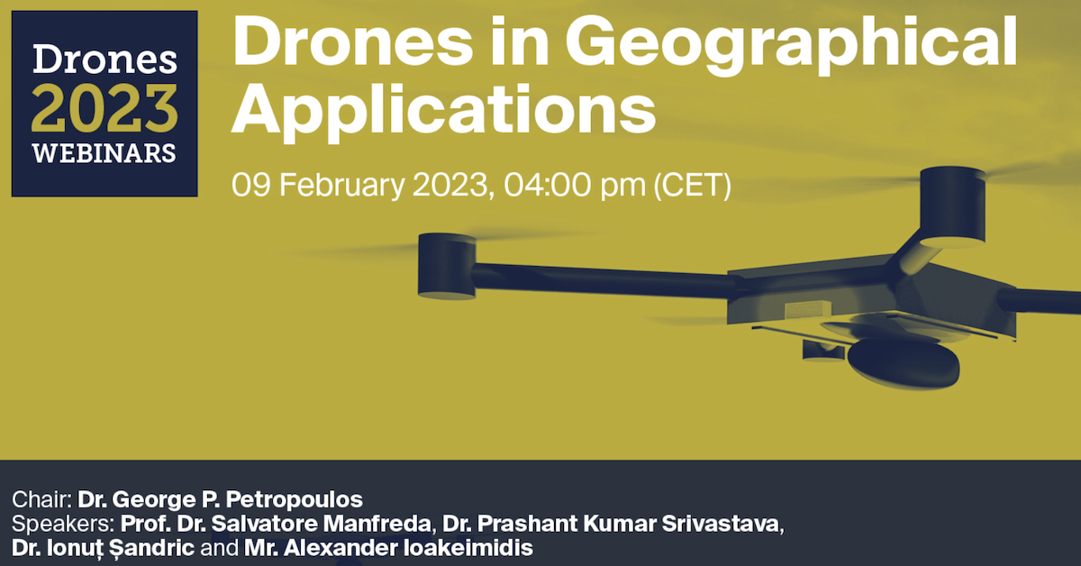
Do not miss the Webinar organised by Drones MDPI on Drones in Geographical Applications!!! Webinar will be coordinated by George P. Petropoulos and it will include the following talks: Unmanned Aerial Systems for Monitoring Soil, Vegetation, and River Systems…

Dear Friend and Colleagues, Recent years have been filled with numerous and intense collaborations and relevant achievements. As we come to the end of the year, we wanted to take a moment to reflect on…
Article Read the article (DOI)Download PDFAll publications BibTeX @article{albertini2022surfacewater, author = {Albertini, C. and Gioia, A. and Iacobellis, V. and Manfreda, S.}, title = {{Detection of surface water and floods with multispectral satellites}}, journal =…

Dear Colleagues, Soil Moisture (SM) is a vital element in the hydrological cycle and land–atmosphere interactions. Quantification of SM and its spatiotemporal variability is valuable for understanding water availability in agriculture, ecosystem states, river basin…
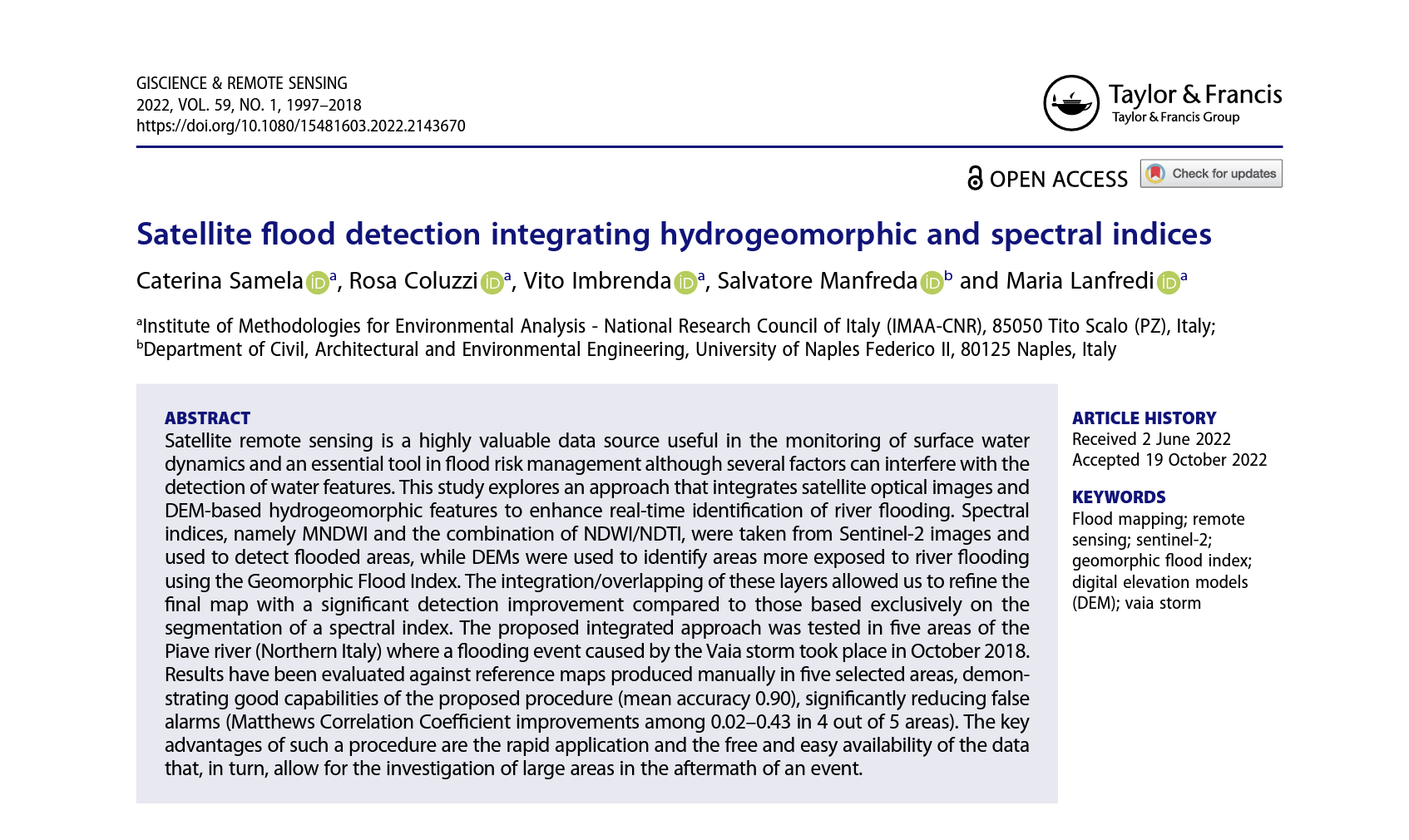
Article Read the article (DOI)Download PDFAll publications BibTeX @article{samela2022integrating, author = {Samela, C. and Coluzzi, R. and Imbrenda, V. and Manfreda, S. and Lanfredi, M.}, title = {{Satellite flood detection integrating hydrogeomorphic and spectral indices}},…
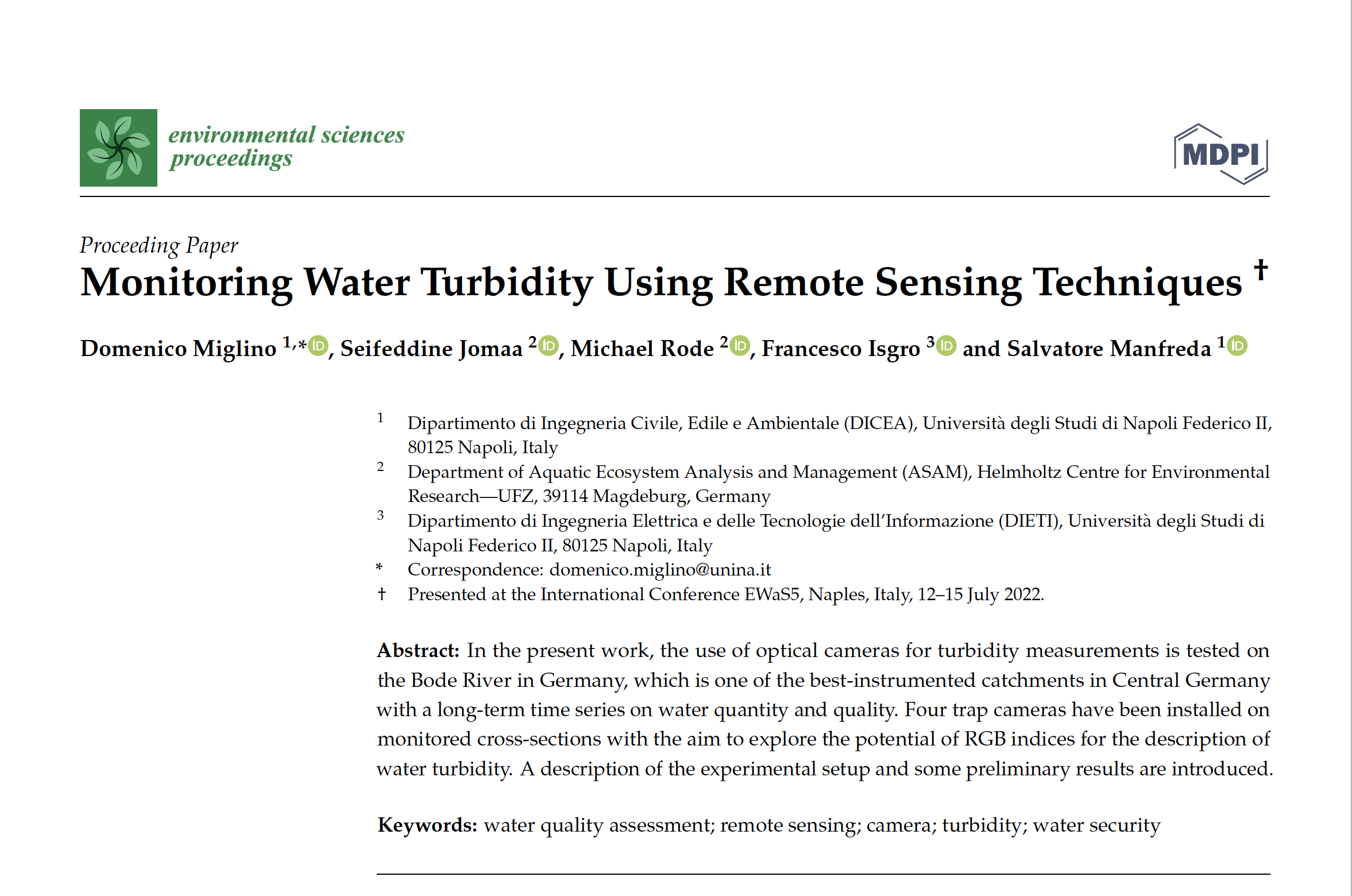
In the present work, the use of optical cameras for turbidity measurements is tested on the Bode River in Germany, which is one of the best-instrumented catchments in Central Germany with a long-term time series…
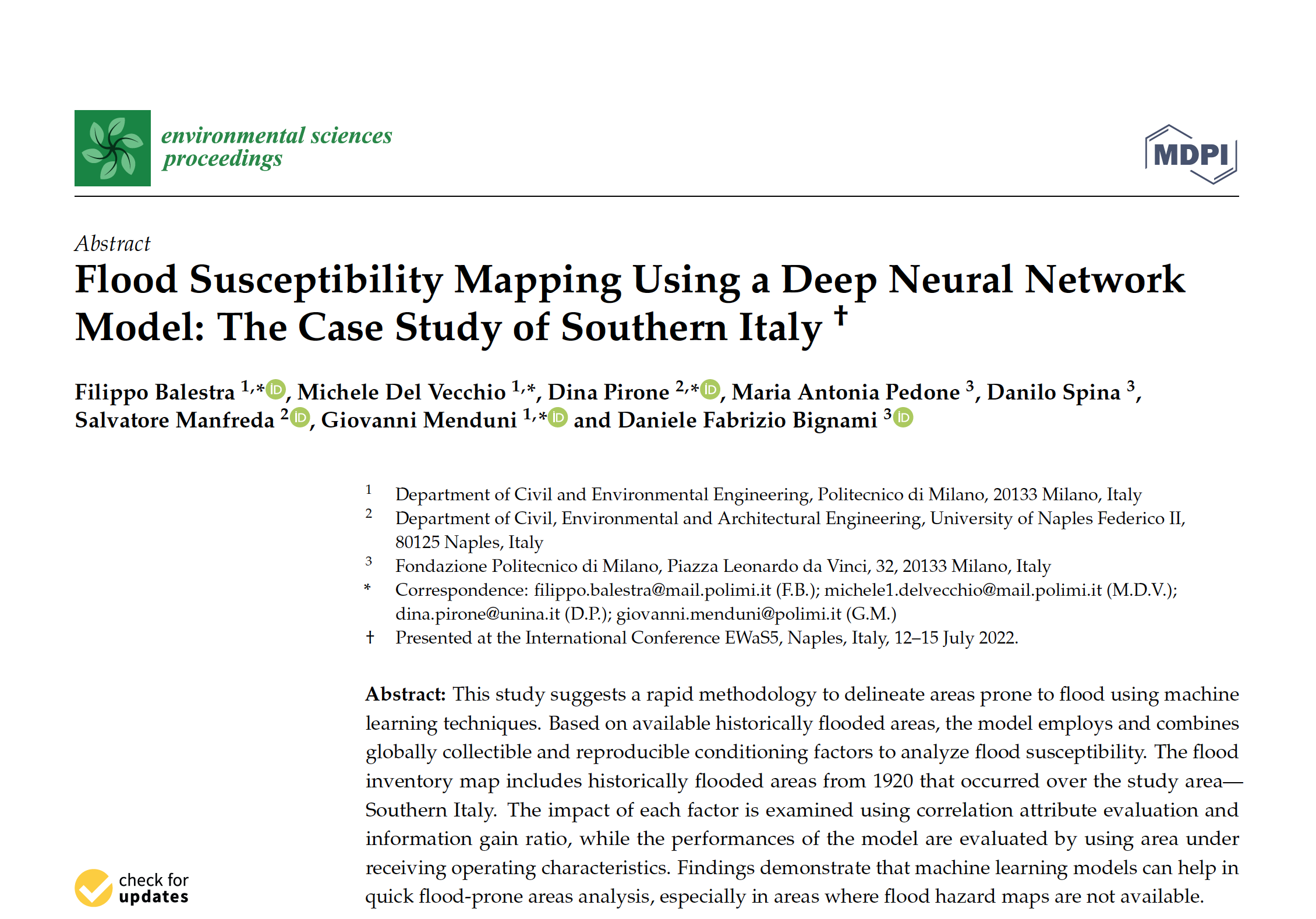
This study suggests a rapid methodology to delineate areas prone to flood using machine learning techniques. Based on available historically flooded areas, the model employs and combines globally collectible and reproducible conditioning factors to analyze…

The design of hydraulic structures needs to account for a trade-off between implementation costs and flood damages, as well as for the impacts on basins hydrological responses over a wide spectrum of events. In this…

We are promoting a Special Issue on River Monitoring with the aim to provide an overview of the most advanced research activities in this field. The aim of the present Special Issue is to promote…
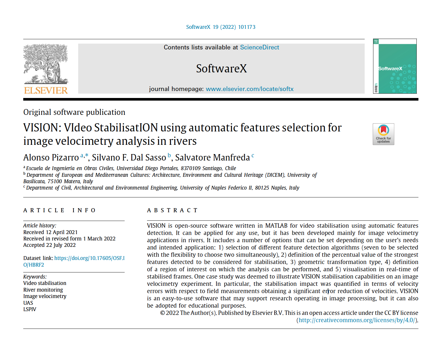
Article Read the article (DOI)Download PDFAll publications BibTeX @article{pizarro2022vision, author = {Pizarro, A. and Dal Sasso, S. F. and Manfreda, S.}, title = {{VISION: VIdeo StabilisatION using automatic features selection for image velocimetry analysis in…
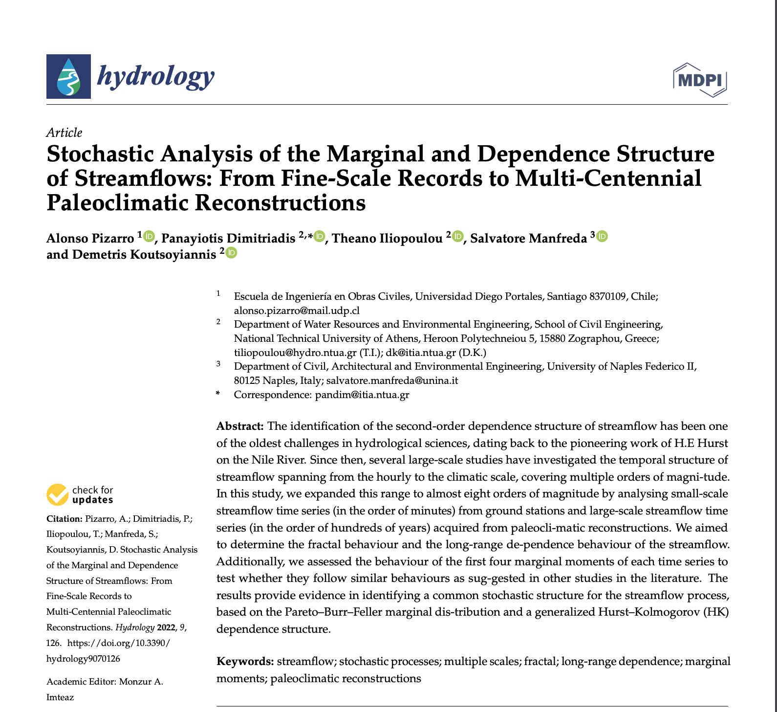
Article Read the article (DOI)All publications BibTeX @article{pizarro2022stochastic, author = {Pizarro, A. and Dimitriadis, P. and Iliopoulou, T. and Manfreda, S. and Koutsoyiannis, D.}, title = {{Stochastic analysis of the marginal and dependence structure of…

I’m proud to announce that our recent paper “Current Practices in UAS-based Environmental Monitoring” has been awarded with the Best Paper Award 2022 by Remote Sensing MDPI. This paper has been the result of a joint…