
Tag: Geomorphic methods

This week we launched the first IAHS Academy course: “Advanced Hydrological Monitoring”, hosted by Eastern Institute of Technology (EIT), Ningbo, China. A strong, highly engaged cohort of students is joining us to work hands-on across key themes in next-generation…

On November 3rd, we officially launched the Blended Executive Programme (BEP) on Innovative Technologies for Sustainable Water Management, organized within the Share_Africa project in collaboration with Italian and Tunisian authorities. The opening ceremony took place at the École Nationale d’Ingénieurs de…

Save the Date & Call for Applications – IAHS Academy 2026 We are pleased to announce that the next IAHS Academy will take place from 12–18 January 2026 at the Eastern Institute of Technology, Ningbo, China. 📝 The application form is now…

Flood events are among the most destructive natural hazards, requiring comprehensive risk management strategies to mitigate their impact on society and the environment. This study uses the potential of the Random Forest (RF) model to…

In recent years, significant advancements in geomorphic methods have provided a valuable and cost-effective alternative for large-scale flood mapping. The Geomorphic Flood Index (GFI) is one such method that has gained widespread adoption for flood…

Flood events rank among the most destructive natural hazards, necessitating comprehensive risk management strategies to mitigate their impact on society and the environment. Various approaches have been developed to map flood susceptibility. However, current methods…
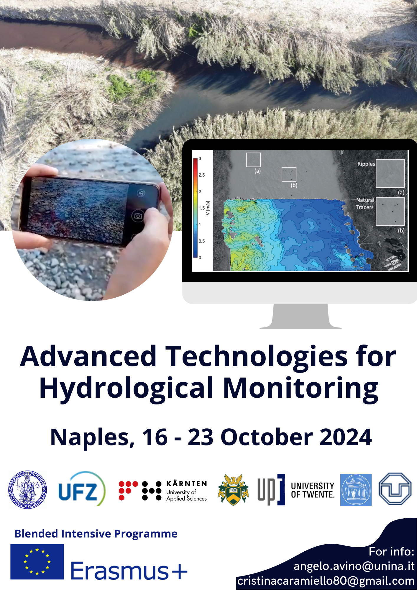
As part of the Erasmus+ program, the University of Naples (UNINA), Helmholtz Centre for Environmental Research (UFZ), Carinthia University of Applied Sciences (CUAS), University of Debrecen (UD), Politehnica University Timisoara (PUT), University of Twente (UT),…
This study suggests a rapid methodology to delineate areas prone to flood using machine learning techniques. Based on available historically flooded areas, the model employs and combines globally collectible and reproducible conditioning factors to analyze…
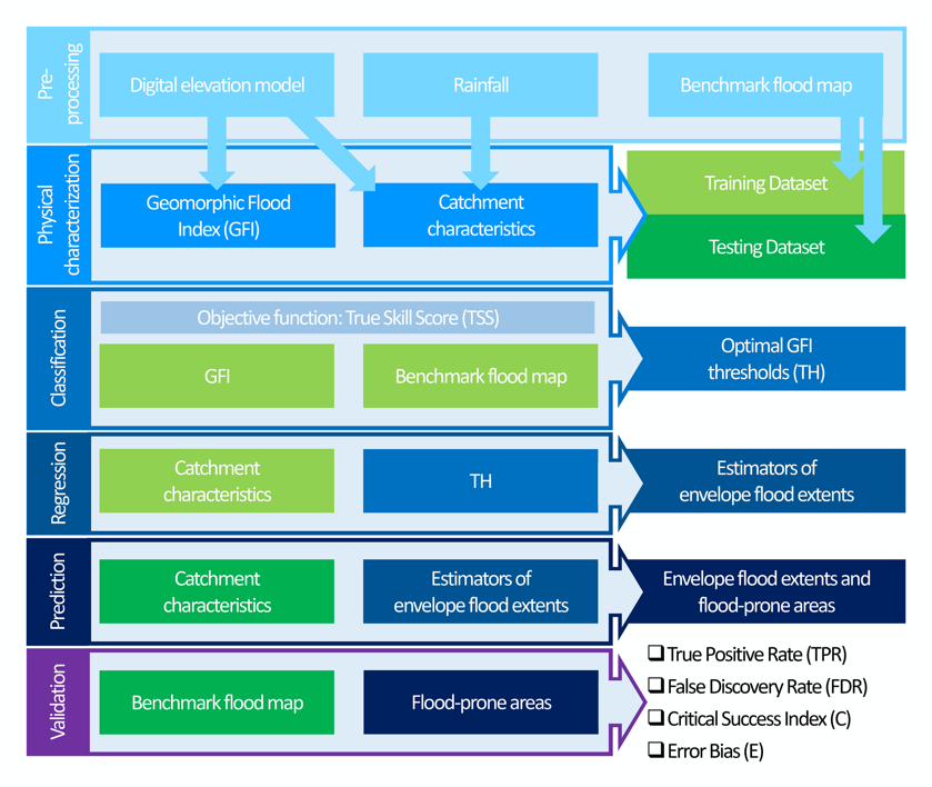
A topographic index (flood descriptor) that combines the scaling of bankfull depth with morphology was shown to describe the tendency of an area to be flooded. However, this approach depends on the quality and availability…
Large-scale flood risk assessment is essential in supporting national and global policies, emergency operations and land-use management. The present study proposes a cost-efficient method for the large-scale mapping of direct economic flood damage in data-scarce…
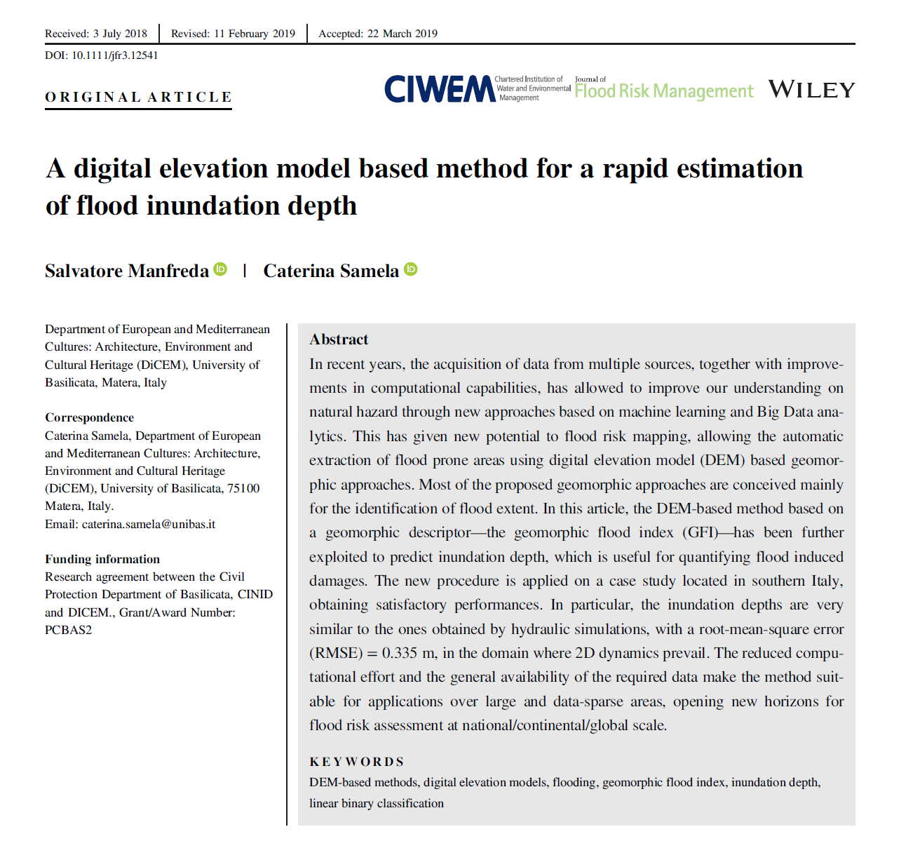
In recent years, the acquisition of data from multiple sources, together with improvements in computational capabilities, has allowed to improve our understanding on natural hazard through new approaches based on machine learning and Big Data…

A detailed delineation of flood-prone areas over large regions represents a challenge that cannot be easily solved with today’s resources. The main limitations lie in algorithms and hardware, but also costs, scarcity and sparsity of data and our incomplete knowledge of how inundation events…
GFA – tool is an open-source QGIS plug-in to realize a fast and cost-effective delineation of the floodplains in the contexts where the available data is scarce to carry out hydrological/hydraulic analyses. The delineation of…

The last decades have seen a massive advance in technologies for Earth Observation (EO) and environmental monitoring, which provided scientists and engineers with valuable spatial information for studying hydrologic processes. At the same time, the…
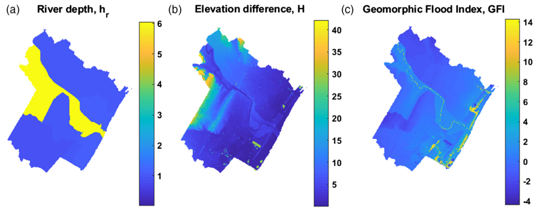
In recent years, the acquisition of data from multiple sources, together with improvements in computational capabilities, has allowed to improve our understanding on natural hazard through new approaches based on machine learning and Big Data…