
Tag: GFI

The Geomorphic Flood Index (GFI) v2.0 is a MATLAB-based toolbox for the rapid and reliable delineation of flood-prone areas, designed with a particular focus on data-scarce environments where detailed hydraulic modelling is not feasible. What’s…
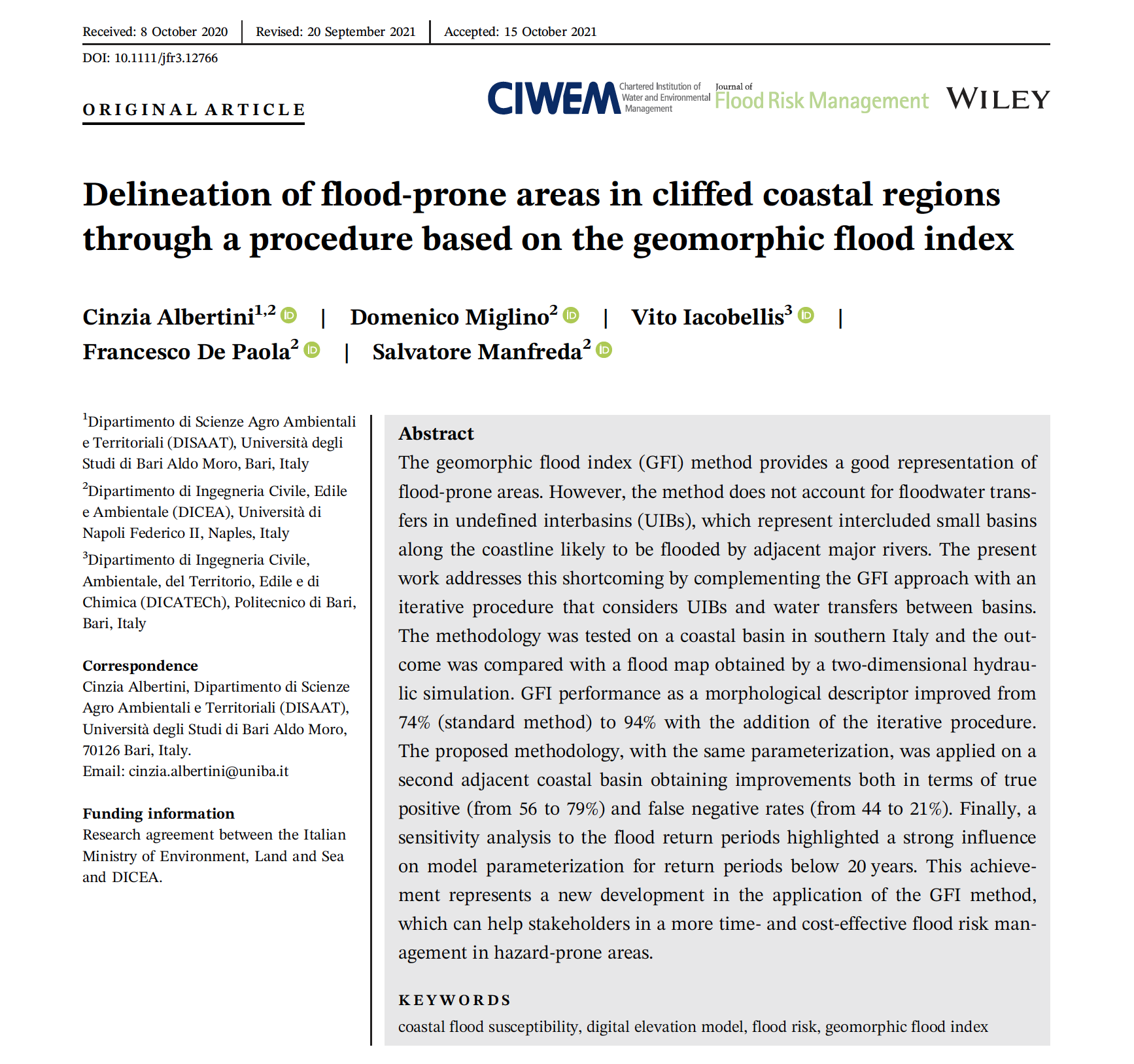
Article Read the article (DOI)All publications BibTeX @article{albertini2022coastal, author = {Albertini, C. and Miglino, D. and Iacobellis, V. and De Paola, F. and Manfreda, S.}, title = {{Flood-prone areas delineation in coastal regions using the…
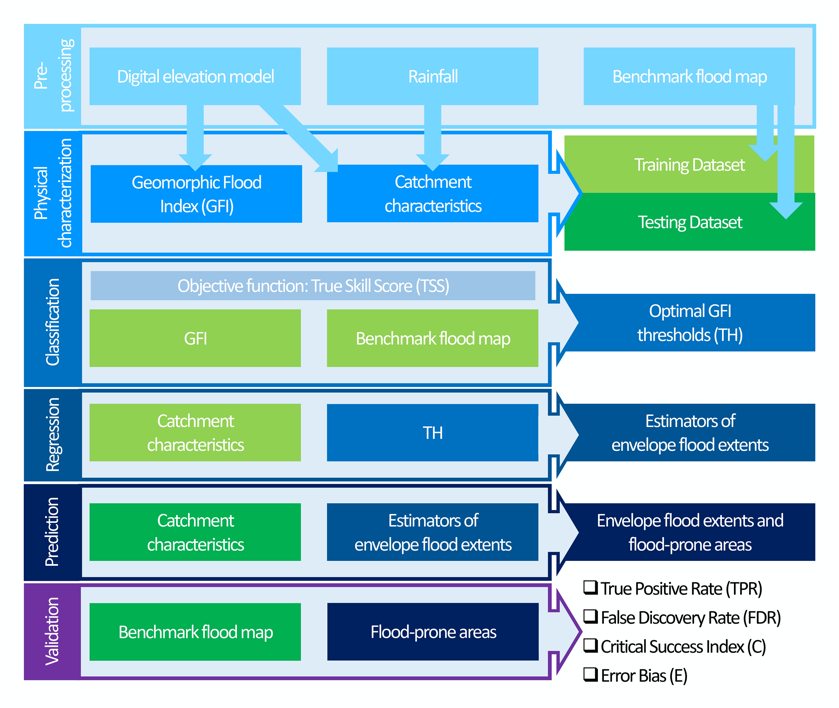
How to cite this article Tavares da Costa, R., Zanardo, S., Bagli, S., Hilberts, A. G. J., Manfreda, S., Samela, C., & Castellarin, A. (2020). Predictive modelling of envelope flood extents using geomorphic and climatic-hydrologic…
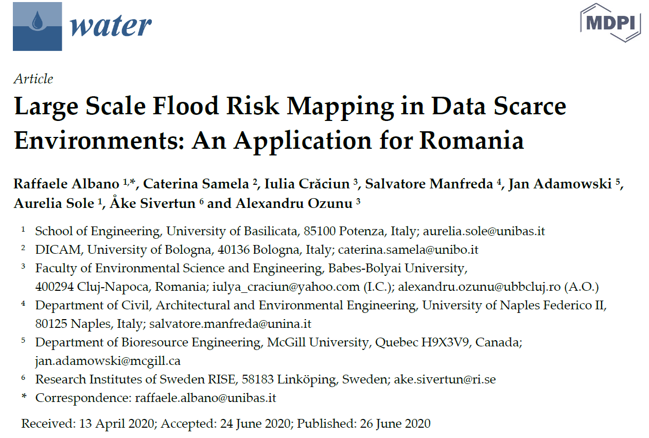
Article Read the article (DOI)All publications BibTeX @article{albano2020romania, author = {Albano, R. and Samela, C. and Crăciun, I. and Manfreda, S. and Adamowski, J. and Sole, A. and Sivertun, Å. and Ozunu, A.}, title =…
GFA – tool is an open-source QGIS plug-in to realize a fast and cost-effective delineation of the floodplains in the contexts where the available data is scarce to carry out hydrological/hydraulic analyses. Open source QGIS…
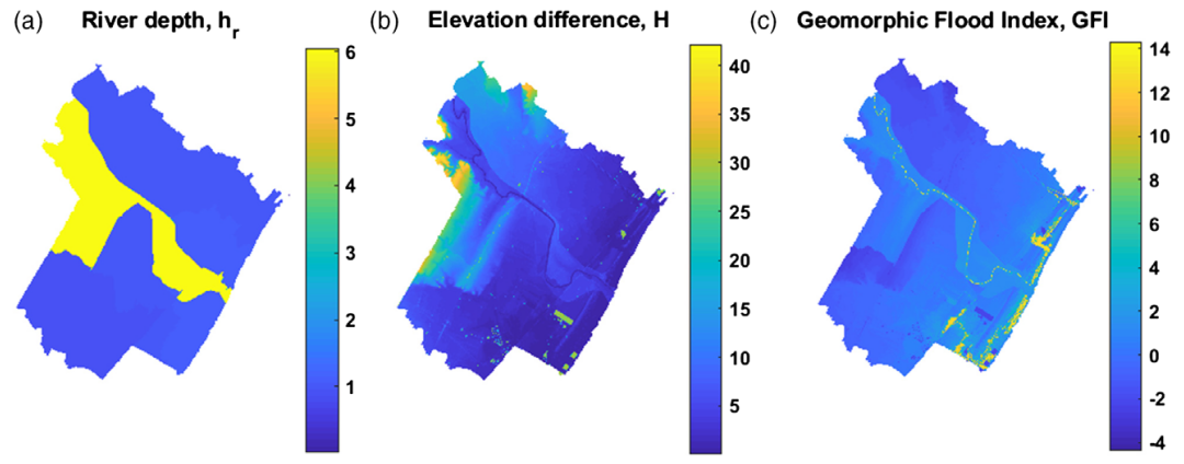
In recent years, the acquisition of data from multiple sources, together with improvements in computational capabilities, has allowed to improve our understanding on natural hazard through new approaches based on machine learning and Big Data…