
Tag: UAS
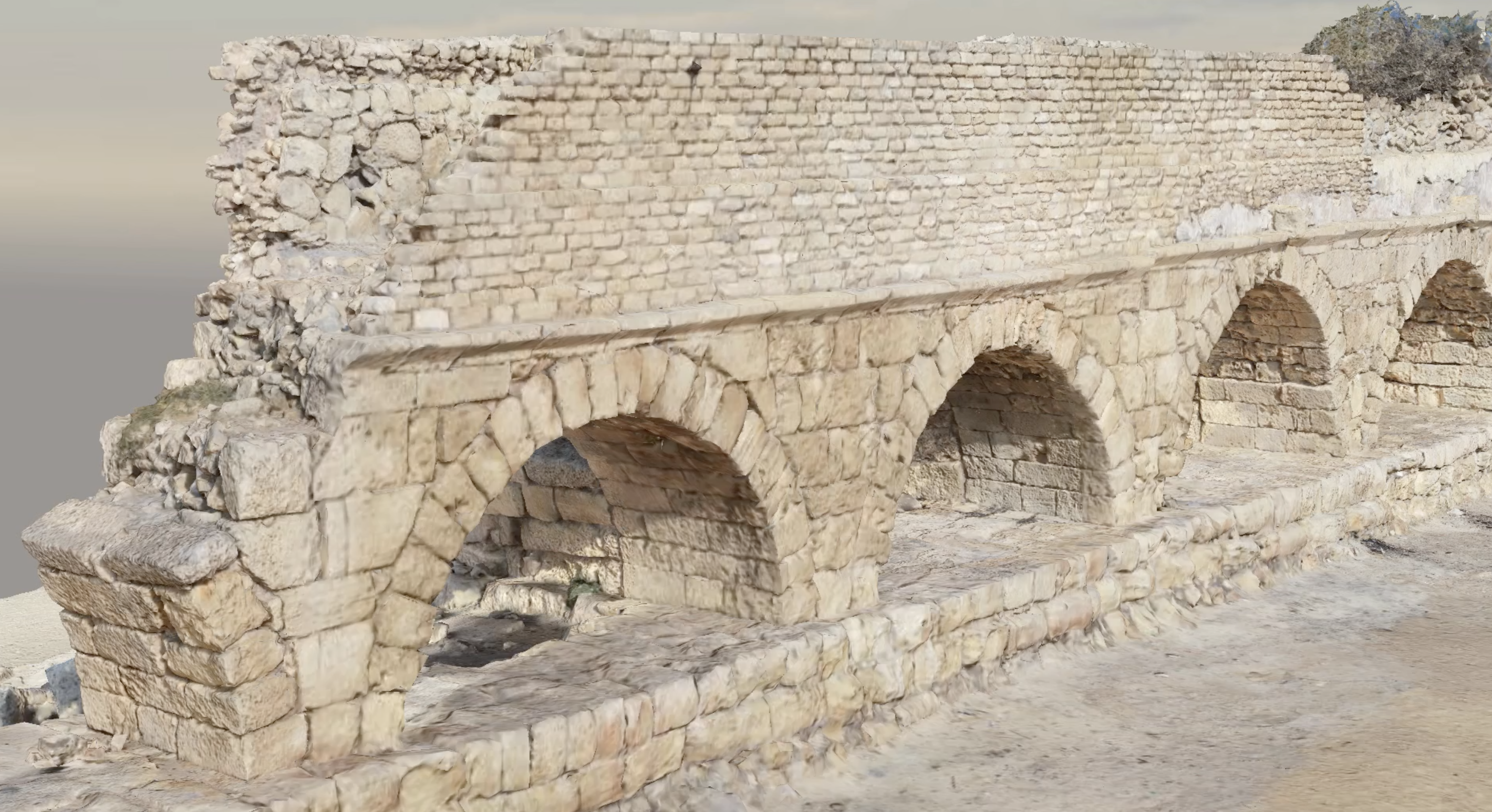
UAS-based surveys and structure from motion (SfM) can lead to extraordinary and realistic 3D models to preserve our cultural heritage. In our recent applications, our members are developing new strategies to build extremely detailed point…

The Department of Topography and Cartography of the Technical University of Madrid hosted our work group meeting of COST Action – HARMONIOUS from 27 up to the 30 of October. During this meeting the WG1 finalized the…
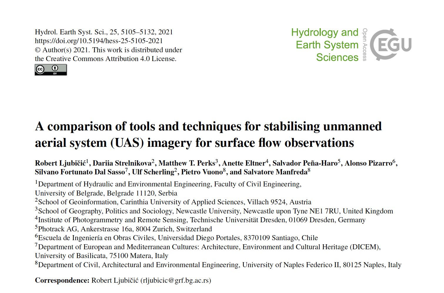
While the availability and affordability of unmanned aerial systems (UASs) has led to the rapid development of remote sensing applications in hydrology and hydrometry, uncertainties related to such measurements must be quantified and mitigated. The…
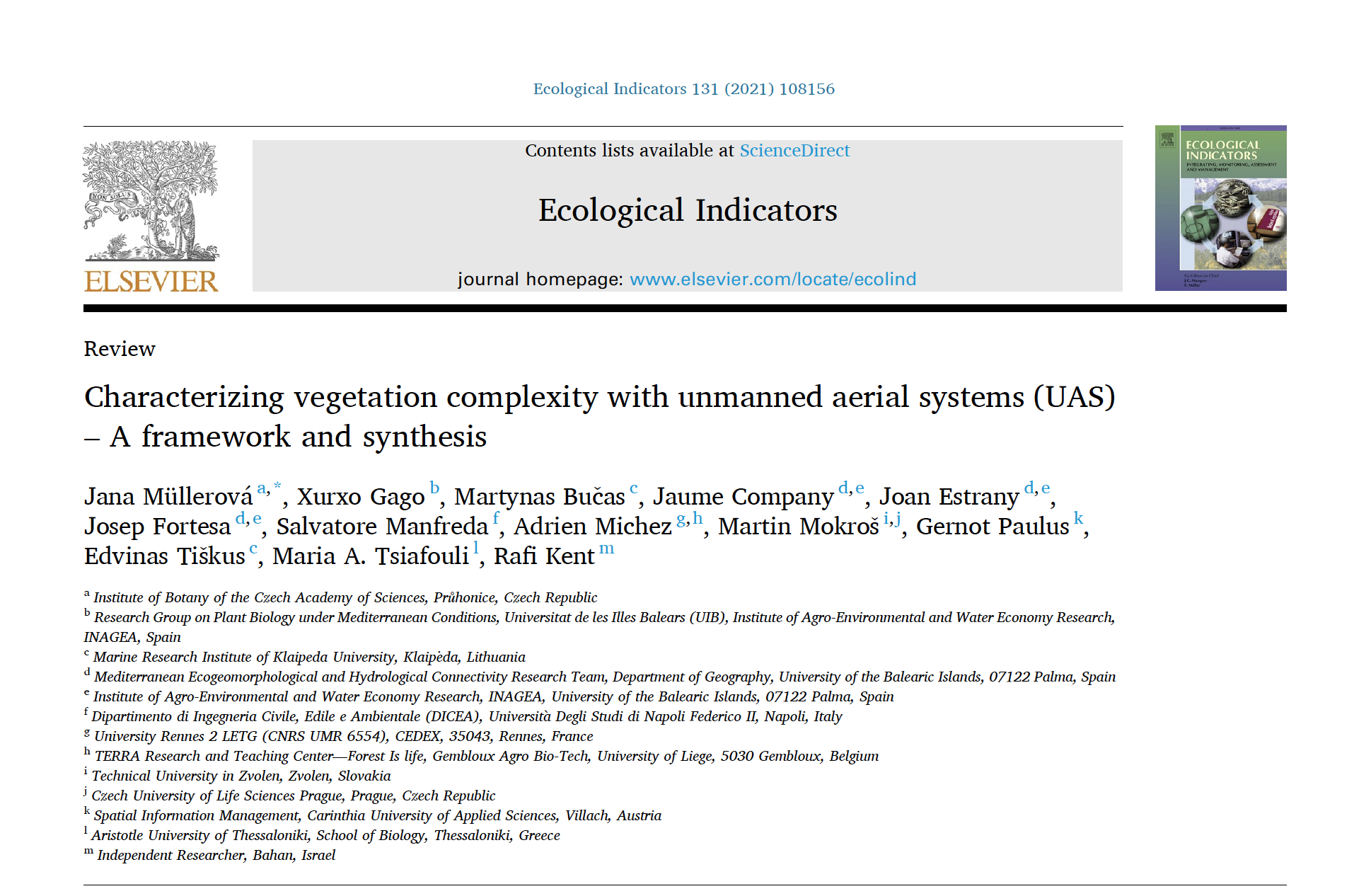
Ecosystem complexity is among the important drivers of biodiversity and ecosystem functioning, and unmanned aerial systems (UASs) are becoming an important tool for characterizing vegetation patterns and processes. The variety of UASs applications is immense,…
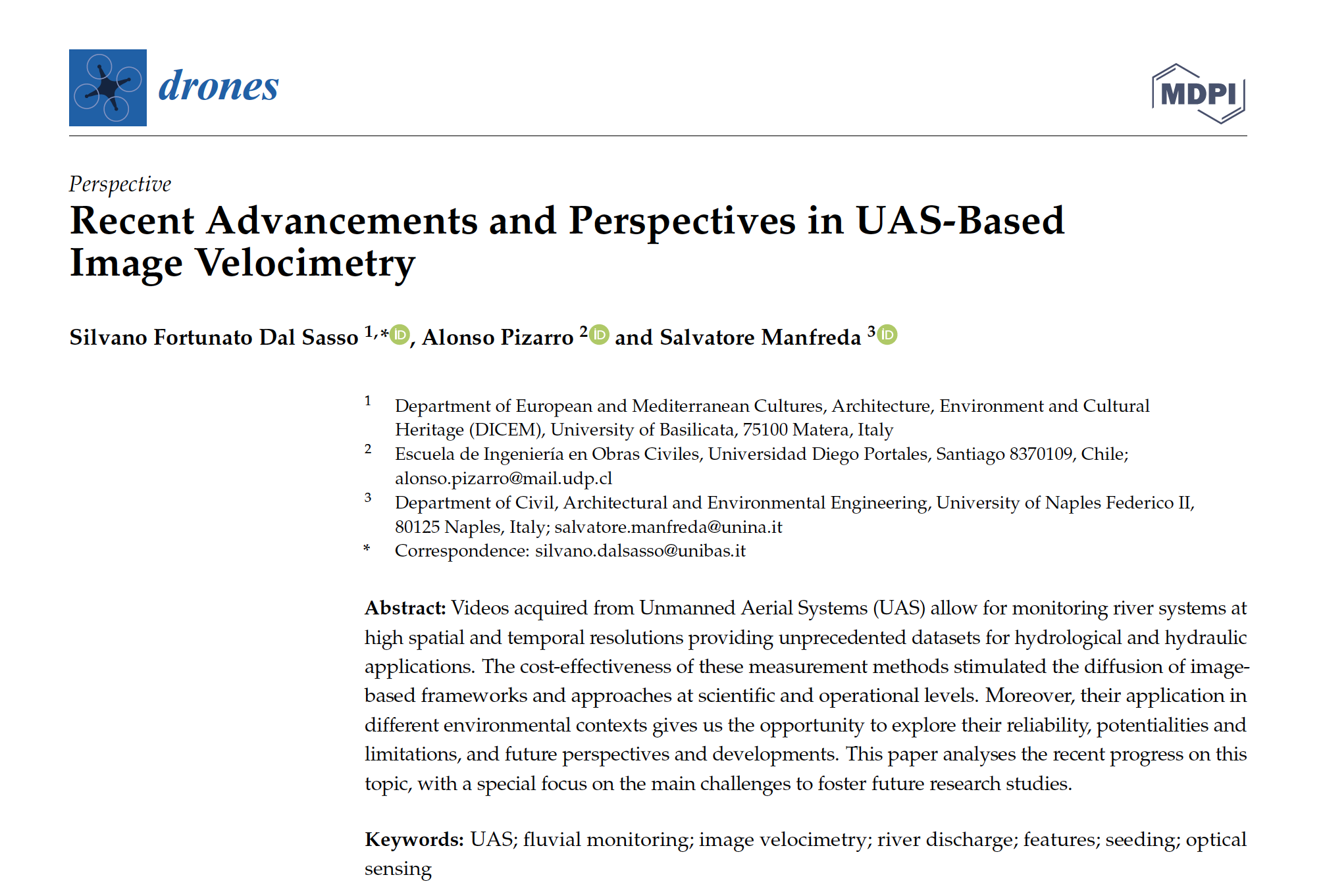
Videos acquired from Unmanned Aerial Systems (UAS) allow for monitoring river systems at high spatial and temporal resolutions providing unprecedented datasets for hydrological and hydraulic applications. The cost-effectiveness of these measurement methods stimulated the diffusion…
Water infiltration rate (WIR) into the soil profile was investigated through a comprehensive study harnessing spectral information of the soil surface. As soil spectroscopy provides invaluable information on soil attributes, and as WIR is a…

This Special Issue is dedicated to machine learning-based methods in:•proximal and digital global mapping of soil properties (e.g., basic, hydraulic, thermal, functional, ecosystem services);•computing systems/algorithms/approaches using Earth observation data to derive global gridded soil datasets;•preprocessing…

Can you tell us how you started working on using UASs for environmental monitoring? What was your motivation, and what did you find the most interesting in this research field? What are the knowledge gaps and…
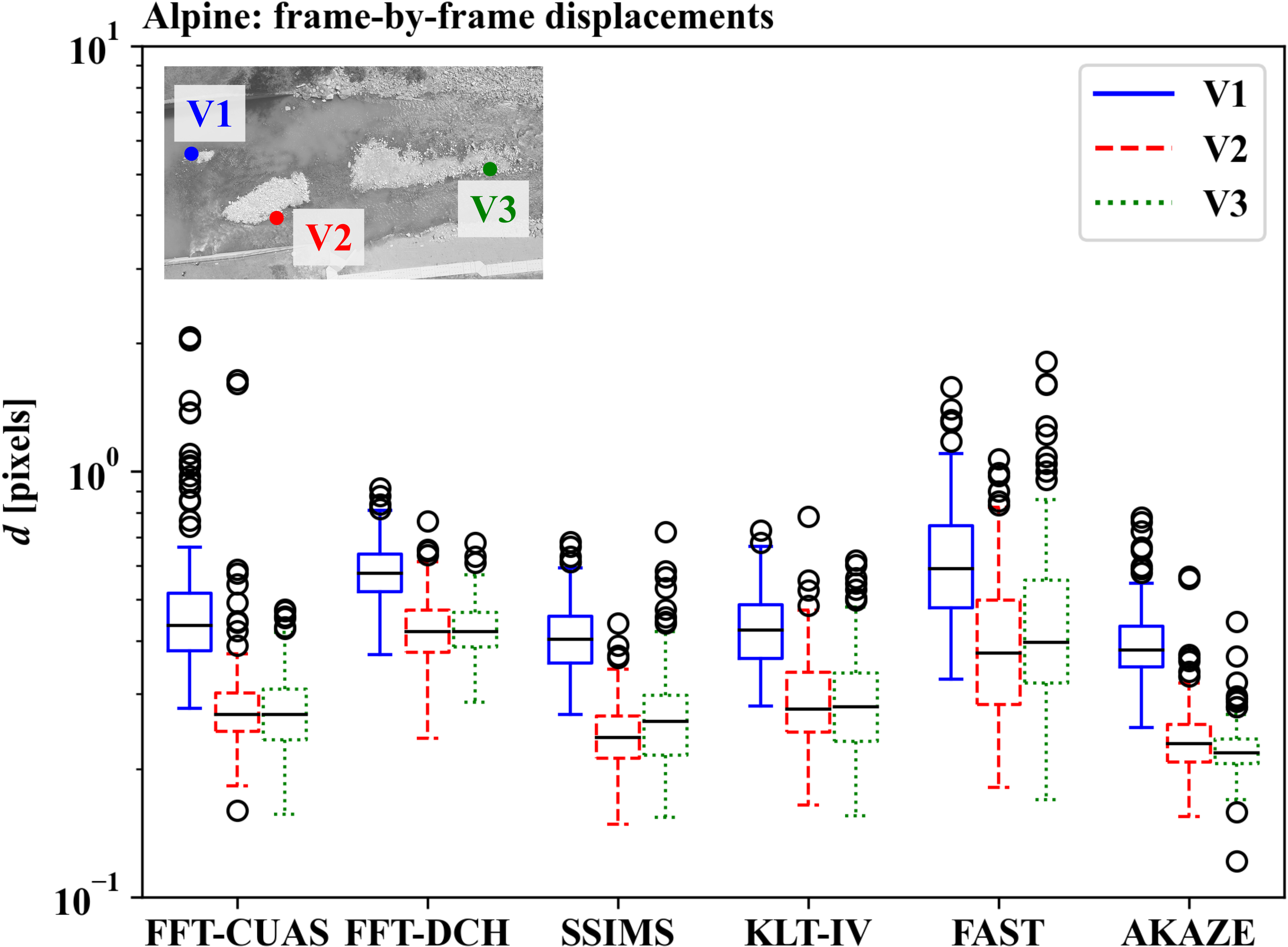
This research presents an investigation of different strategies and tools for digital image stabilisation for image velocimetry purposes. Basic aspects of image stabilisation and transformation are presented, and their applicability is discussed in terms of…

VISION is one of the stabilization algorithms tested in recent manuscript entitled “A comparison of tools and techniques for stabilizing UAS imagery for surface flow observations”. The Matlab code and an set of data can…

The review “On the Use of Unmanned Aerial Systems for Environmental Monitoring” by HARMONIOUS Team is the most cited paper of Remote Sensing MDPI in the last 36 months.

This year, COST Action – HARMONIOUS members produced a quite impressive number of results working online. Imagine what we could do without restrictions!See the following list:1. Use of UAVs with the simplified “triangle” technique https://lnkd.in/dFQftqY2. Identifying the optimal…

We are promoting a new research topic entitled Advances in Hydrological Monitoring with Unmanned Aerial Systems in Frontiers in Remote Sensing. FRONTIERS IN REMOTE SENSING Abstract Submission by March 2021Manuscript Submission by July 2021 This Research Topic,…
Information acquired from Unmanned Aerial Vehicles (UAVs) is frequently used nowadays in a variety of disciplines and research fields. The present study explores for the first time the combined use of UAVs with a newly…
River monitoring is of particular interest as a society that faces increasingly complex water management issues. Emerging technologies have contributed to opening new avenues for improving our monitoring capabilities but have also generated new challenges…