
Tag: Environmental Monitoring
Water infiltration rate (WIR) into the soil profile was investigated through a comprehensive study harnessing spectral information of the soil surface. As soil spectroscopy provides invaluable information on soil attributes, and as WIR is a…

The review “On the Use of Unmanned Aerial Systems for Environmental Monitoring” by HARMONIOUS Team is the most cited paper of Remote Sensing MDPI in the last 36 months.

This year, COST Action – HARMONIOUS members produced a quite impressive number of results working online. Imagine what we could do without restrictions!See the following list:1. Use of UAVs with the simplified “triangle” technique https://lnkd.in/dFQftqY2. Identifying the optimal…
River streamflow monitoring is currently facing a transformation due to the emerging of new innovative technologies. Fixed and mobile measuring systems are capable of quantifying surface flow velocities and discharges, relying on video acquisitions. This…
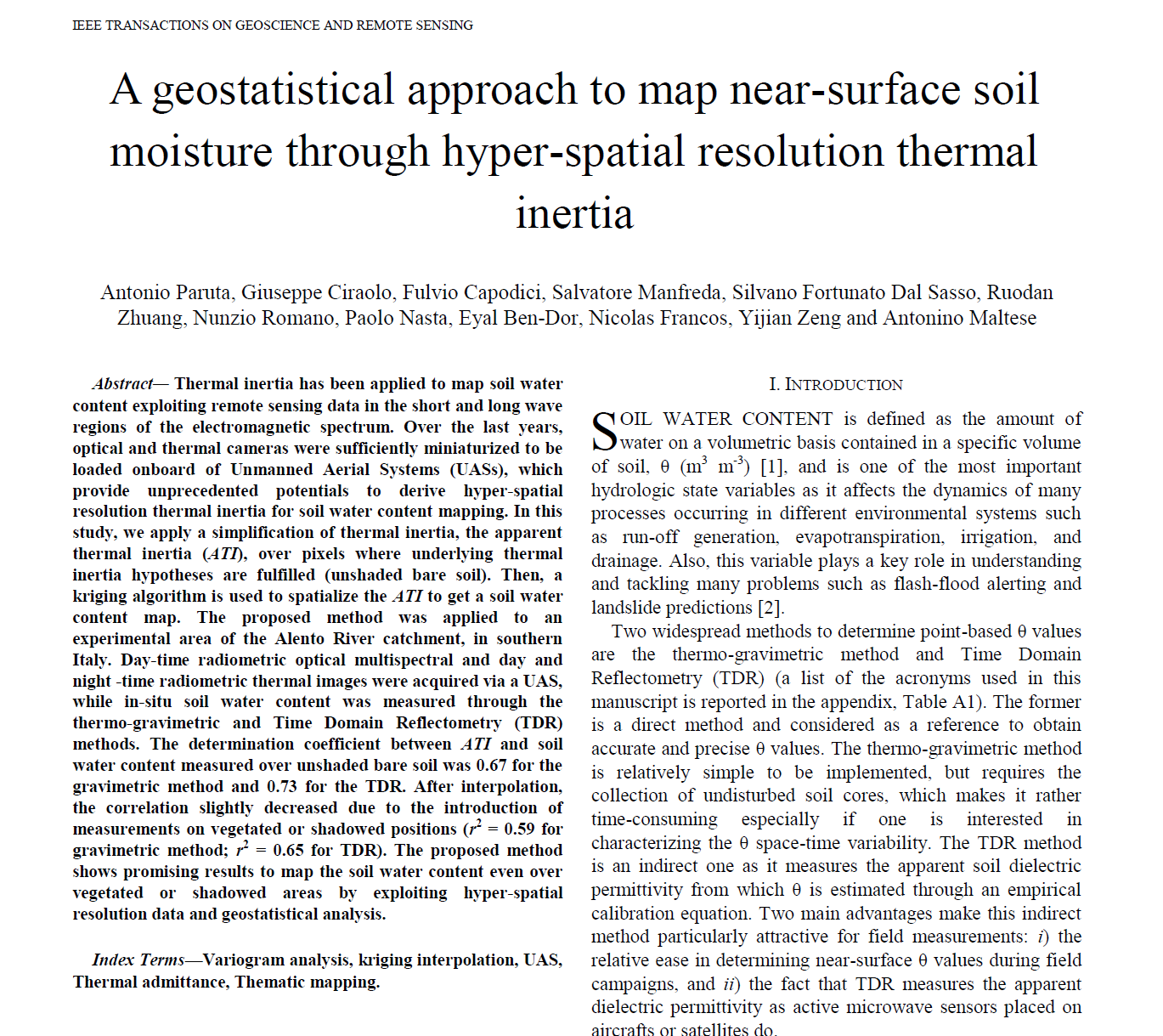
Thermal inertia has been applied to map soil water content exploiting remote sensing data in the short and long wave regions of the electromagnetic spectrum. Over the last years, optical and thermal cameras were sufficiently…

Modeling Antecedent Soil Moisture to Constrain Rainfall Thresholds for Shallow Landslides Occurrence
Rainfall-triggered shallow landslide events have caused losses of human lives and millions of euros in damage to property in all parts of the world. The need to prevent such hazards combined with the difficulty of…

Since the turn of the 21st century, image-based velocimetry techniques have become an increasingly popular approach for determining open-channel flow in a range of hydrological settings across Europe and beyond. Simultaneously, a range of large-scale…

This is the questionnaire developed by HARMONIOUS aimed at identifying the most urgent and important challenges drone-based science will probably face in the near future. All UAS users are encouraged to participate on this short survey.

River monitoring is of particular interest for our society that is facing increasing complexity in water management. Emerging technologies have contributed to opening new avenues for improving our monitoring capabilities, but also generating new challenges…
With the increasing role that unmanned aerial systems (UAS) are playing in data collection for environmental studies, two key challenges relate to harmonizing and providing standardized guidance for data collection, and also establishing protocols that…

River monitoring is a critical issue for hydrological modelling that strongly relies on the use of Flow Rating Curves (FRCs). In most of the cases, FRCs are approximated by least-squares fitting, whose performance may be…

It is crucial to monitor the dynamics of soil moisture over the Tibetan Plateau, while considering its important role in understanding the land-atmosphere interactions and their influences on climate systems (e.g., Eastern Asian Summer Monsoon).…

Foundation scour is among the main causes of bridge collapse worldwide, resulting in significant direct and indirect losses. A vast amount of research has been carried out during the last decades on the physics and…
Image velocimetry has proven to be a promising technique for monitoring river flows using remotely operated platforms such as Unmanned Aerial Systems (UAS). However, the application of various image velocimetry algorithms has not been extensively…
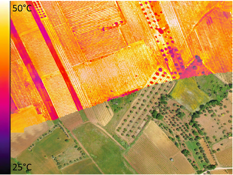
Il monitoraggio rappresenta la principale fonte di conoscenza nelle scienze ambientali. I recenti progressi nelle tecnologie nell’ambito dell’Osservazione della Terra offrono molteplici possibilità per il monitoring e la tutela ambientale. I Sistemi Aeromobili a Pilotaggio…